
(Download a higher resolution picture by clicking on any
picture below.)
On the longest day of the year, I drove up the Swansea-Cerro Gordo Road to the Burgess Mine at the crest of the Inyo Mountains just before sunset. I continued across the crest of the Inyo Mountains to Cerro Gordo, arriving as the full moon rose.
 Topographic map of planned route:
Swansea-New York Butte-Cerro Gordo-Keeler.
Topographic map of planned route:
Swansea-New York Butte-Cerro Gordo-Keeler.
 Perspective view of planned route
from south: Swansea, New York Butte, Cerro Gordo, Keeler. The
Saline Valley hot springs and Steele Pass are at upper right.
Perspective view of planned route
from south: Swansea, New York Butte, Cerro Gordo, Keeler. The
Saline Valley hot springs and Steele Pass are at upper right.
 Perspective view from southwest.
The sign at the beginning of the Swansea-Cerro Gordo Road warns that it is for 4-wheel drive vehicles only, with "dangerous grades".
 It takes an hour and twenty minutes
to climb 6,200 feet in altitude over twelve miles. That's nearly
one foot up for every ten feet forward (on the average). Some
parts of the climb are near the limit of the traction of my
4Runner. About three miles along there's one particularly nasty
section of exposed bedrock along a steep drop-off.
It takes an hour and twenty minutes
to climb 6,200 feet in altitude over twelve miles. That's nearly
one foot up for every ten feet forward (on the average). Some
parts of the climb are near the limit of the traction of my
4Runner. About three miles along there's one particularly nasty
section of exposed bedrock along a steep drop-off.

Here's the view from the Burgess Mine at 6:40 p.m. The wind is blowing pretty hard and the air is cool. The Saline Valley hot springs are visible at left. Owens Lake is to the right of center. I'm going to drive south for twelve miles along the ridgeline at center. First though, I will go about a mile north to the end of the road at New York Butte.
| Buy an 8.3" x 44" panoramic print of this photo from the Lockett Photography Store for $33.00. They are on printed on Epson premium glossy photo paper using fade resistant Epson Ultrachrome inks: |

That's New York Butte on the far left. The road ends at the pass. The previous panorama was taken on the ridge visible just to the right of the five boulders. There are ancient Bristlecone Pines on New York Butte and the ridge behind the 4Runner. There is a nice campsite, sheltered under Juniper trees, at the end of the road.
 View from the end of the road at the
base of New York Butte in the Inyo Mountains. The previous
panorama was taken on the ridge below, just to the left of the
snag.
View from the end of the road at the
base of New York Butte in the Inyo Mountains. The previous
panorama was taken on the ridge below, just to the left of the
snag.
| Buy an 8.3" x 44" panoramic print of this photo from the Lockett Photography Store for $33.00. They are on printed on Epson premium glossy photo paper using fade resistant Epson Ultrachrome inks: |
 Saline Valley Hot Springs from the
base of New York Butte in the Inyo Mountains.
Saline Valley Hot Springs from the
base of New York Butte in the Inyo Mountains.
 Saline Salt Tram Station on the
crest of the Inyo Mountains
Saline Salt Tram Station on the
crest of the Inyo Mountains
Info about the Salt Tram from www.395.com:
"The salt lake in Saline Valley, like others throughout the basin and range province, was recognized by late 19th Century prospectors as a source of sodium chloride and borax. Borax was discovered in Saline Valley in 1874. Salt was mined on a small scale some years before that date, but became a large-scale operation after 1903.
"Saline Valley Salt Works and Tram:
The salt works and tram were placed in the National Register of Historic Places in 1973. The site includes remains of the salt works at the southern end of the salt lake and the tramway support and associated structures and artifacts which run from the salt lake up Daisy Canyon, over the Inyo Mountains down to Swansea in Owens Valley.
"The tram was constructed between 1911 and 1913 to provide economical transportation of the exceptionally pure salt deposits from the salt lake in Saline Valley to Owens Valley where it was milled and shipped via rail. The 13.5-mile aerial wire rope tram was electrically powered and capable of carrying 20 tons an hour. The tramway operated from 1913 to 1918, again between 1920-21, and later in 1929 and 1936. The ownership changed hands four times during this period. The cost of operating the tram proved uneconomical.
"The tramway was a remarkable engineering feat. It was the steepest tramway in the United States, rising from 1100 feet in the Saline Valley floor to 8500 feet at the Inyo Crest, then dropping to 3600 feet at Swansea.
"The Saline Valley Salt Tram is claimed to be "the most scenic, historic, best preserved, oldest, and largest of its kind remaining today."
 Looking into the Saline Valley at sunset. The
hot spring and Steele Pass are in the shadow of the Inyos on the
left.
Looking into the Saline Valley at sunset. The
hot spring and Steele Pass are in the shadow of the Inyos on the
left.
 The Saline Salt Tram Station. This is the Owens
Valley end of the structure housing the mechanism of the cable
tramway station. I had thought that the salt tram ran over Cerro
Gordo, but there are two separate cableways. This one is several
miles to the north of Cerro Gordo.
The Saline Salt Tram Station. This is the Owens
Valley end of the structure housing the mechanism of the cable
tramway station. I had thought that the salt tram ran over Cerro
Gordo, but there are two separate cableways. This one is several
miles to the north of Cerro Gordo.
 Looking down into the Saline Valley.
 Stereo view of the Saline Salt Tram
Station in the Inyo Mountains. Cross your eyes until the images
line up to see the 3-D effect.
Stereo view of the Saline Salt Tram
Station in the Inyo Mountains. Cross your eyes until the images
line up to see the 3-D effect.


 Looking toward the Owens Valley.
 Owens Lake can be seen 5,000 feet
below.
Owens Lake can be seen 5,000 feet
below.
Link to pictures of the Salt Tram taken by Cat and her dog Ripley.
 There is a cabin at the Saline Salt Tram
Station. It has been "stabilized" (largely
reconstructed). There is a campsite about a 1/4 mile from the
station.
There is a cabin at the Saline Salt Tram
Station. It has been "stabilized" (largely
reconstructed). There is a campsite about a 1/4 mile from the
station.
 The view of the Owens Valley from
the cabin at the Saline Salt Tram Station.
The view of the Owens Valley from
the cabin at the Saline Salt Tram Station.
 Interior of the cabin.
 Swansea-Cerro Gordo Road on the
crest of the Inyo Mountains after sunset (8:00 p.m.).
Swansea-Cerro Gordo Road on the
crest of the Inyo Mountains after sunset (8:00 p.m.).
 Much of the road is right at the crest of the ridge, with views
of both the Saline Valley on the left and the Owens Valley on the
right. I don't know of any other road that has such expansive
views.
Much of the road is right at the crest of the ridge, with views
of both the Saline Valley on the left and the Owens Valley on the
right. I don't know of any other road that has such expansive
views.
I thought the stretch coming up from Swansea was nasty. Ahead of me is a steep descent, every bit as steep as before, but for a much longer distance. It starts with some very steep side-hill. I don't know how far you can tilt a 4Runner before it tips over, but it's not a lot farther. I am actually relieved when the road turns straight down the hillside, as the gravel slides down the mountain under my wheels. I look nearly straight down through the windshield as I hang suspended from the shoulder harness. It would be a lengthy and difficult scramble to go back up to New York Butte.
It's getting dark as I cross over the last pass. The mountain drops away on the right and the road ahead is a tiny, rough pinscratch in the face of a vertical cliff, barely wider than my 4Runner (maybe not as wide as a Landcruiser). There is nothing visible in the darkness on my right except the lights of Keeler, a mile below. I takes all of my strength of will to shift down to low-first gear and crawl at the very lowest speed I can go. The road tilts to the right, and I have to keep the steering wheel crabbed toward the wall on my left to go straight. I have never encountered anything like this road.
I glance to the right just once. My feeling is expressed perfectly by the donkey in Shrek, "I'M LOOOKING DOWN!!!!!" Now I concentrate my full conciousness to not thinking about what isn't there on the right side of the road. All my attention is devoted to watching just the left edge of the road as it passes by, ever so slowly.
I'm too afraid to even stop until I reach a ravine where the road is marginally wider. I park and take a minute to breathe. Then I spend a minute psyching myself up to engage first gear and start moving again.
There are a couple of places where the road turns to the left, so that I am deprived of the comfort of seeing the wall on that side ahead of me. There's nothing at all to look at but the precipice and the darkness beyond the edge.
I grasp the steering wheel with both hands with all my strength. I can't even loosen the grip of one hand. My knuckles are stiff. My forearms are stiff. My upper back is cramping. My palms are sweating so much that the grime on the steering wheel is coming off on my hands. This is the fodder for many future bad dreams to wake up shaking from.
Days go by before I finally spot a light shining in Cerro Gordo. There's still nothing next to me, but at least there is something in the distance to focus my attention on. I would be too frightened to drive that part of the road going the other direction. I don't believe I will ever attempt to drive from Cerro Gordo to New York Butte.
It is fully dark when I arrive at Cerro Gordo. The full moon comes up behind the Inyos as I drive down to Keeler. The road is wide, recently graded, and plenty of fill has been trucked in. It's not scary at all. I shift into fourth and ride down it like a slalom.
 I cover the seven miles and
4,600-foot descent in just 20 minutes.
I cover the seven miles and
4,600-foot descent in just 20 minutes.
The entire 35 miles from Swansea to Keeler takes just under four hours.
Link to a 1994 trail report about the Swansea-Cerro Gordo Road on Off-Road.com.
The full moon tailgates me down the winding grade into the Panamint Valley. Sometimes it appears in the left rear view mirror like a car that wants to pass. It slides over into the mirror on the right and then back again as the road winds back and forth. It's very bright, like high-beam headlights. It lights up the mountains on either side as I cruise down the Panamint Valley to Trona, bright enough to drive without headlights along the deserted highway.
I think the air temperature is well over 90 degrees in the valley. Trona smells like rotten eggs. The smell seems worse when it's hot and dark.
- advertisement -
You can buy a 2020 Calendar featuring my photographs of Californias High Desert.
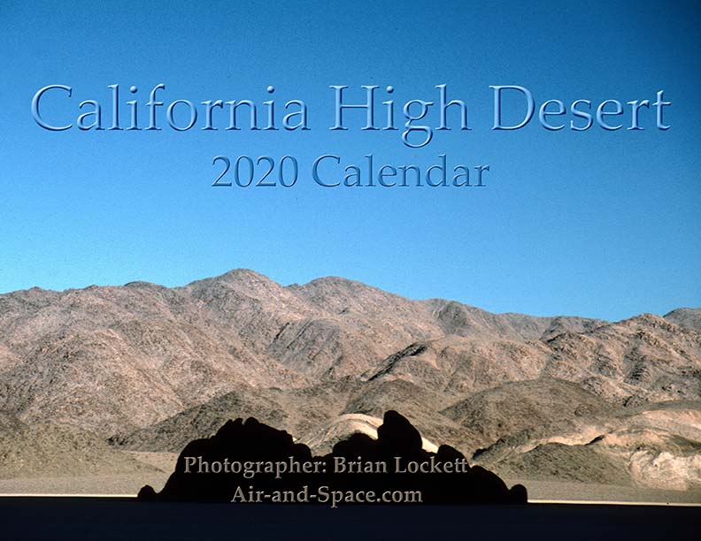
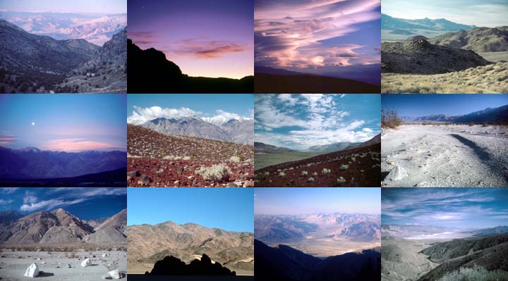
California High Desert locations include Owens Valley, Panamint Valley, Saline Valley and the Inyo Mountains.
 Put a copy of the California High Desert 2020 Calendar in your Lulu.com shopping cart for $14.95.
You can buy a 2020 Calendar featuring my photographs of the Mojave Desert.
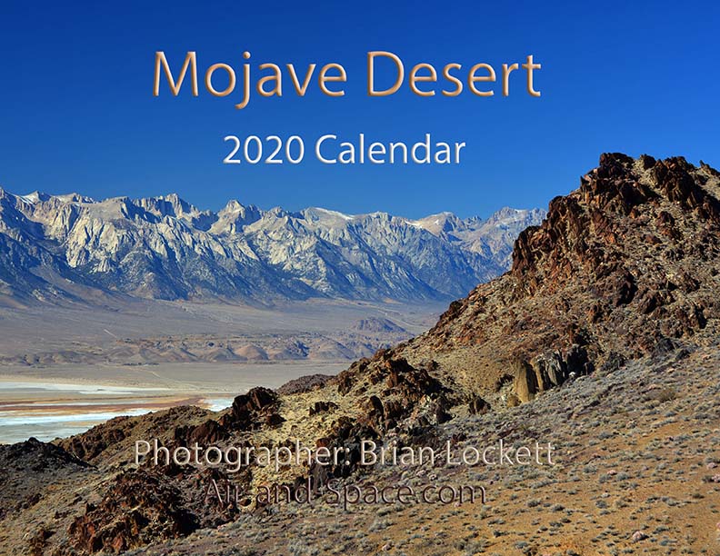
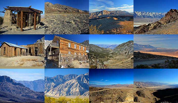
A dozen photos of the Mojave Desert. Locations include the Panamint Valley, the ghost town of Ballarat, the ghost town of Cerro Gordo, the Inyo Mountains, and the Saline Valley.
Put a copy of the Mojave Desert 2020 Calendar in your Lulu.com shopping cart for $14.95.
You can buy a 2020 Calendar featuring my photographs of the Saline and Panamint Valleys.

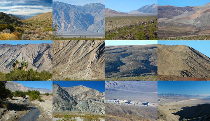
A dozen photos of the Saline and Panamint Valleys. The Saline Valley is a remote and beautiful part of Death Valley National Park. The primitive roads and utter lack of services make it one of the least visited parts of the park. I strongly recommend 4-wheel-drive, high-clearance vehicles to get there. We get a flat tire on nearly every trip. The Saline Valley is bounded on the west by the Inyo Mountains with peaks reaching over 11,000 feet. The bottom of the valley floor is at an elevation two miles below the peaks of the Inyos. The lowest pass out of the valley is almost 4,000 feet higher than the almost dry lakebed.
Put a copy of the Saline and Panamint Valleys 2020 Calendar in your Lulu.com shopping cart for $14.95.
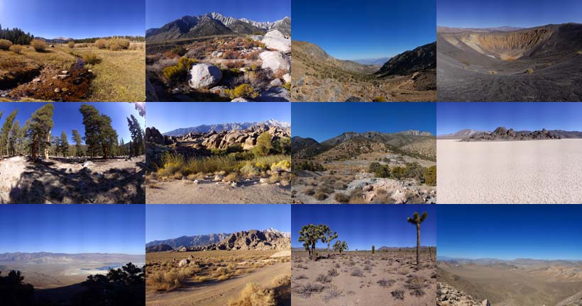
You can buy a 2020 Calendar featuring my photographs of Inyo County Mountains.
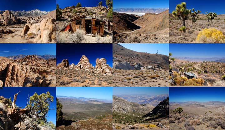
A dozen photos of mountainous terrain in Inyo County. Locations include:
Alabama Hills
Papoose Flat Road in the Inyo Mountains,
Hines Road in the Inyo Mountains,
Cerro Gordo in the Inyo Mountains,
Lee Flat, and
Hunter Mountain.
Put a copy of the Inyo County Mountains: 2020 Calendar in your Lulu.com shopping cart for $14.95.
You can buy a 2020 Calendar featuring my photographs of the Basin and Range province in eastern California.
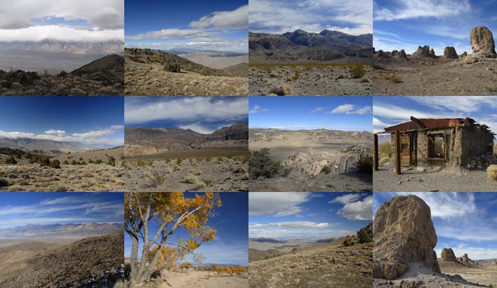
A dozen photos of the Basin and Range province in eastern California. Locations include:
Barber Point in the Inyo Mountains,
Papoose Flat in the Inyo Mountains,
Harkness Flat in the Inyo Mountains,
Panamint Valley,
Ballarat ghost town,
Owens Valley, and
Trona Pinnacles.
Put a copy of the California Basin and Range: 2020 Calendar in your Lulu.com shopping cart for $14.95.
You can buy a 2020 Calendar featuring my very wide angle photographs of eastern California, from the Sierra Nevada to Death Valley. The photos are 9-1/2" x 13-1/2".
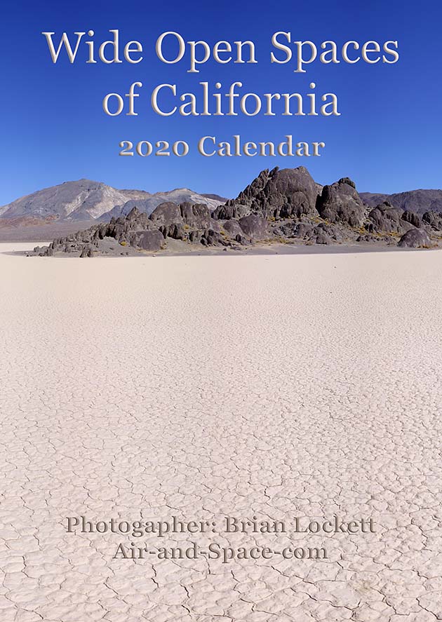
A dozen very wide angle 9-1/2" x 13-1/2" photographs of eastern California, from the Sierra Nevada to Death Valley.
Horseshoe Meadow
Owens Valley
Whitney Portal
Alabama Hills
Cerro Gordo
Holiday Mine, Inyo Mountains
Lee Flat
Ubehebe Crater
Racetrack Playa
Ulida Flat from Hunter Mountain
Put a copy of the Wide Open Spaces of California: 2020 Calendar in your Lulu.com shopping cart for $23.95.
You can buy a 2020 Calendar featuring my Little Planet photographs. The photos are 9-1/2" x 13-1/2".

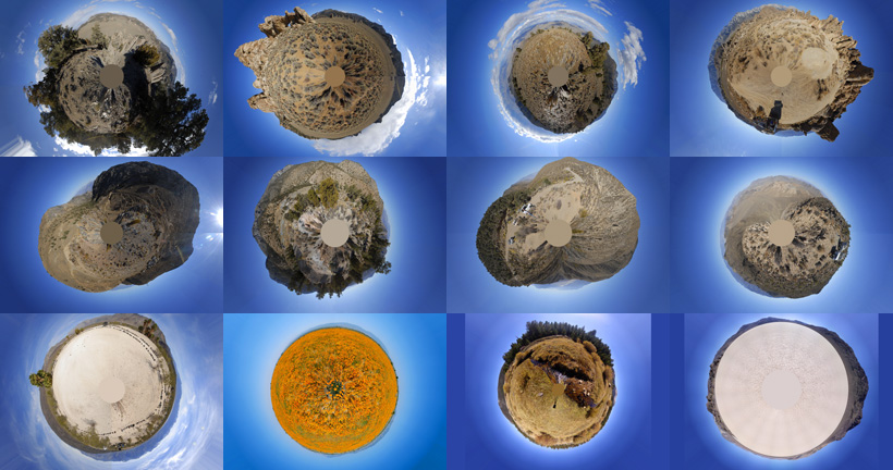
A dozen 9-1/2" x 13-1/2" 360-degree panoramas wrapped in a circle to make little planets. Locations include Antelope Valley, Saline Valley, Hunter Mountain, Racetrack Playa, Horseshoe Meadow, and the Inyo Mountains.
Put a copy of the Little Planets: 2020 Calendar in your Lulu.com shopping cart for $23.95.
- advertisement -
Send a message to Brian.
Go to home page of the Goleta Air and Space Museum.