 (Download a higher resolution picture
by clicking on any picture below.)
(Download a higher resolution picture
by clicking on any picture below.)
Panamint Valley, October 5, 2004 |
(Download a higher resolution picture
by clicking on any picture below.)
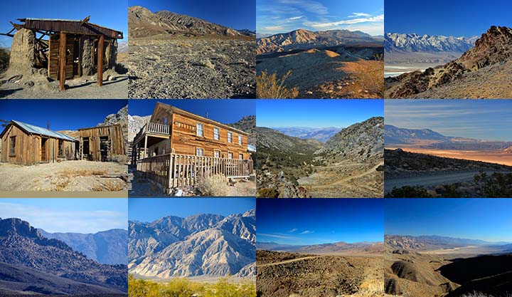
On Tuesday, October 5, my sister and I drove our Toyota 4Runners to the ghost town of Ballarat in the Panamint Valley with the intent of 4-wheeling up Pleasant Canyon to Rogers Pass.
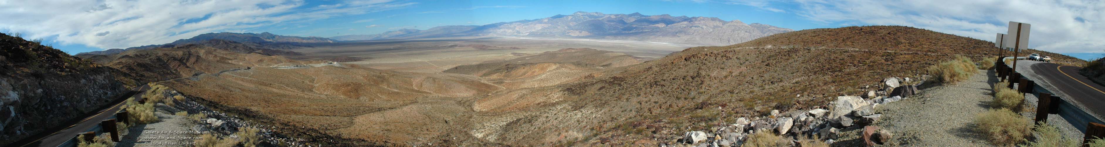 We passed through Trona and up to a pass in the Slate Range
to this Panamint Valley overlook.
We passed through Trona and up to a pass in the Slate Range
to this Panamint Valley overlook.
 Ballarat is at the base of the Panamint Mountains
on the far side of the valley.
Ballarat is at the base of the Panamint Mountains
on the far side of the valley.
 Hunter Mountain can be seen in the far distance from
the Panamint Valley overlook.
Hunter Mountain can be seen in the far distance from
the Panamint Valley overlook.
 The road turns suddenly to the left just after going through
the pass.
The road turns suddenly to the left just after going through
the pass.
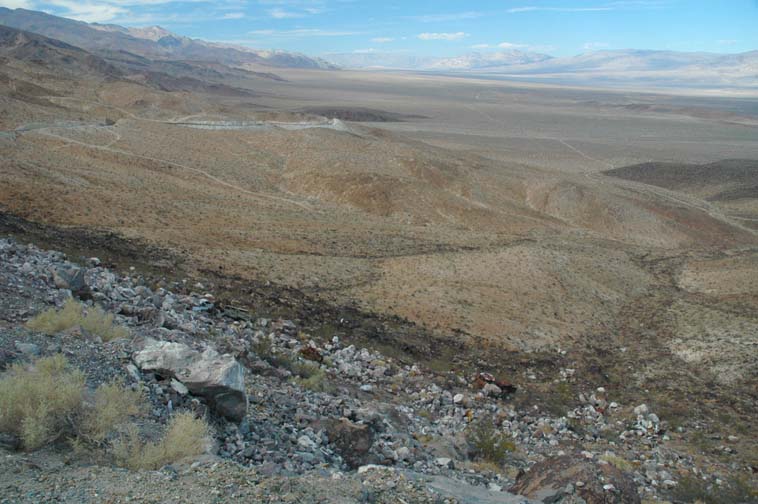
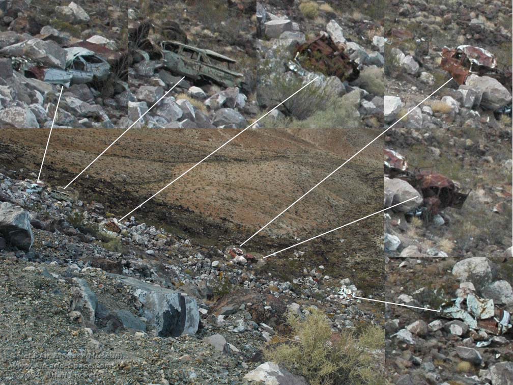 There are at least six wrecked cars in this picture. It
appears that they have been there for decades and may pre-date the guard rail.
More recent road construction has
rolled large boulders down onto the wrecks. Does Inyo County just leave wrecked
cars where they fall?
There are at least six wrecked cars in this picture. It
appears that they have been there for decades and may pre-date the guard rail.
More recent road construction has
rolled large boulders down onto the wrecks. Does Inyo County just leave wrecked
cars where they fall?
A trio of monuments marks the turn off to the dirt road leading across the dry lake to the ghost town of Ballarat.
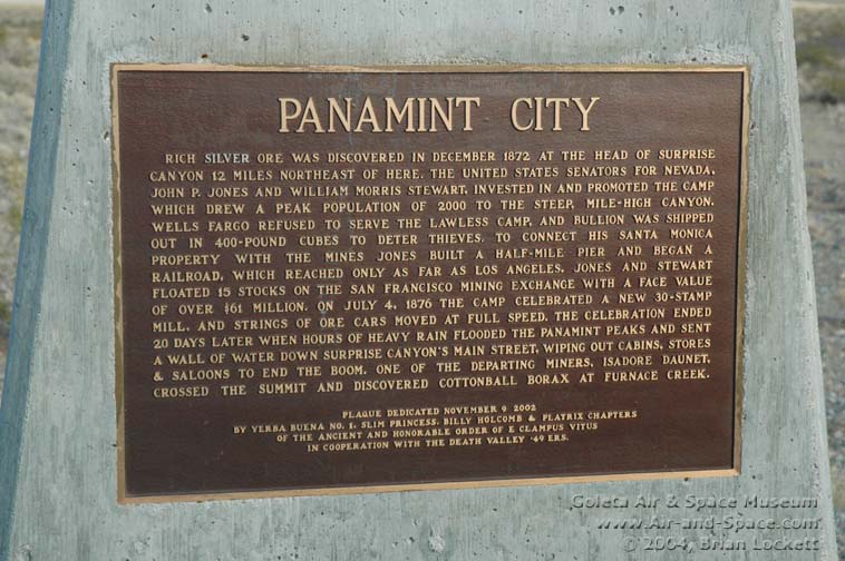 Panamint City monument.
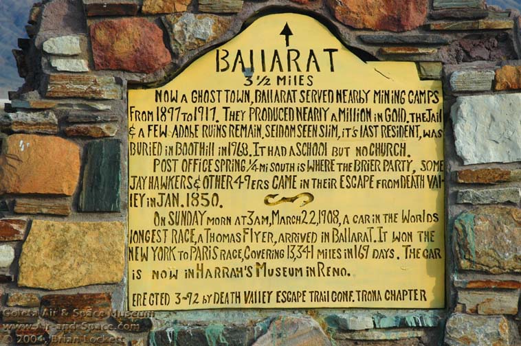 Ballarat monument.
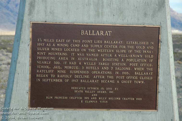 Ballarat monument.
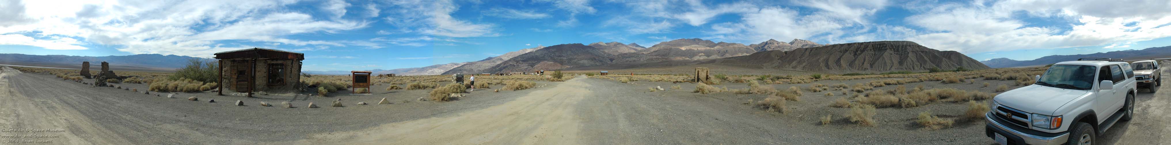 360-degree panorama of the ghost town of Ballarat.
 Adobe building.
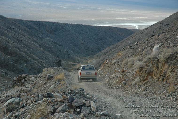
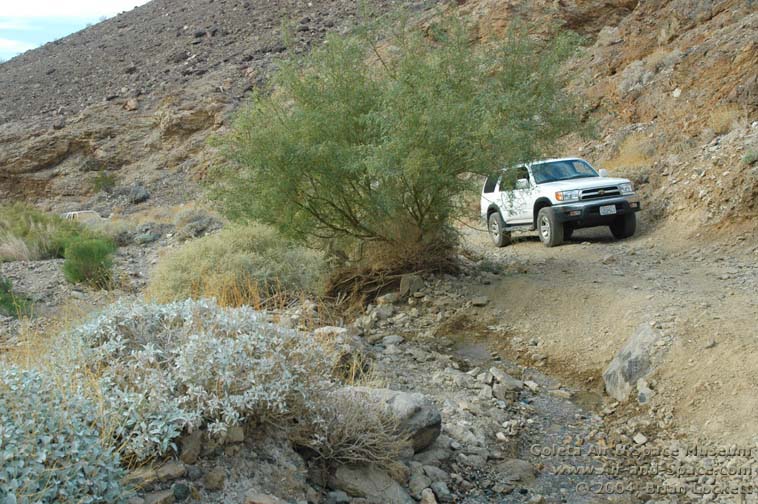 Just twenty minutes up the road into Pleasant Canyon,
we reached a washout.
There is black tire rubber scuffed onto the two boulders below the washout. They are
too close together for a 4Runner to get between them. We got out and
walked up the road a little way.
Just twenty minutes up the road into Pleasant Canyon,
we reached a washout.
There is black tire rubber scuffed onto the two boulders below the washout. They are
too close together for a 4Runner to get between them. We got out and
walked up the road a little way.
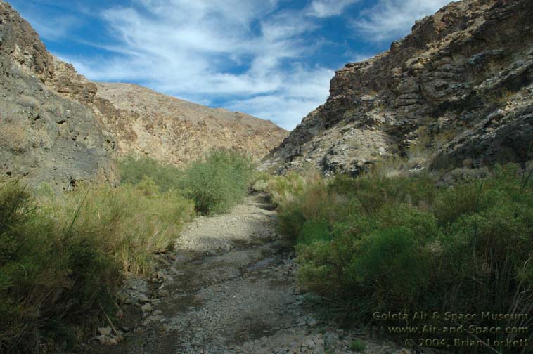 A small stream runs along the road in the
narrows of the canyon. The stream has carved ruts along and across the road.
A small stream runs along the road in the
narrows of the canyon. The stream has carved ruts along and across the road.
 A little cascade of water erodes the edge of the road.
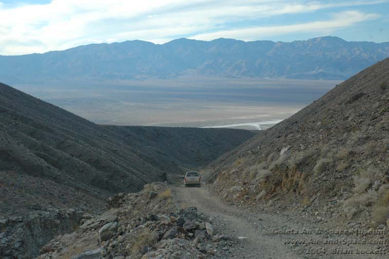
 The view down Pleasant Canyon reveals the Argus
Range on the far side of the Panamint Valley.
The view down Pleasant Canyon reveals the Argus
Range on the far side of the Panamint Valley.
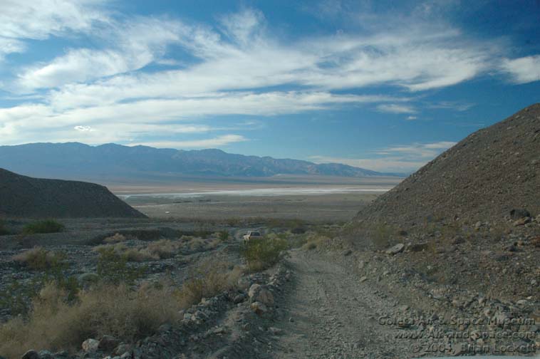
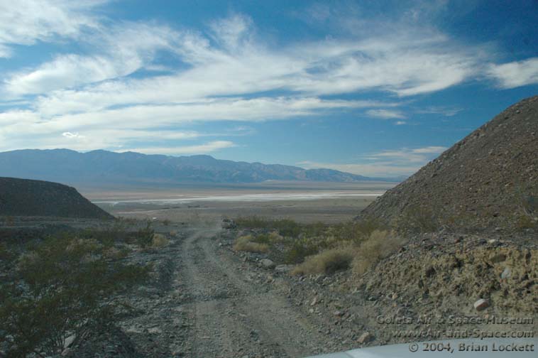
 Driving back down to Ballarat.
- advertisement -
You can buy a 2020 Calendar featuring my photographs of Californias High Desert.
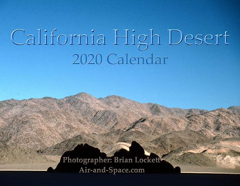
California High Desert locations include Owens Valley, Panamint Valley, Saline Valley and the Inyo Mountains.
 Put a copy of the California High Desert 2020 Calendar in your Lulu.com shopping cart for $14.95.
You can buy a 2020 Calendar featuring my photographs of the Mojave Desert.
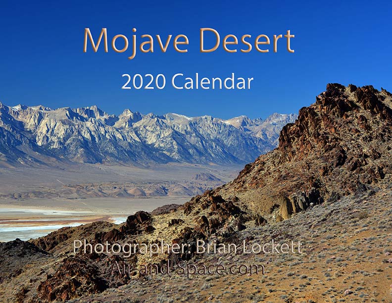
A dozen photos of the Mojave Desert. Locations include the Panamint Valley, the ghost town of Ballarat, the ghost town of Cerro Gordo, the Inyo Mountains, and the Saline Valley.
Put a copy of the Mojave Desert 2020 Calendar in your Lulu.com shopping cart for $14.95.
You can buy a 2020 Calendar featuring my photographs of the Saline and Panamint Valleys.

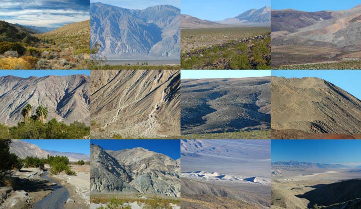
A dozen photos of the Saline and Panamint Valleys. The Saline Valley is a remote and beautiful part of Death Valley National Park. The primitive roads and utter lack of services make it one of the least visited parts of the park. I strongly recommend 4-wheel-drive, high-clearance vehicles to get there. We get a flat tire on nearly every trip. The Saline Valley is bounded on the west by the Inyo Mountains with peaks reaching over 11,000 feet. The bottom of the valley floor is at an elevation two miles below the peaks of the Inyos. The lowest pass out of the valley is almost 4,000 feet higher than the almost dry lakebed.
Put a copy of the Saline and Panamint Valleys 2020 Calendar in your Lulu.com shopping cart for $14.95.
You can buy a 2020 Calendar featuring my photographs of Inyo County Mountains.
A dozen photos of mountainous terrain in Inyo County. Locations include:
Alabama Hills
Papoose Flat Road in the Inyo Mountains,
Hines Road in the Inyo Mountains,
Cerro Gordo in the Inyo Mountains,
Lee Flat, and
Hunter Mountain.
Put a copy of the Inyo County Mountains: 2020 Calendar in your Lulu.com shopping cart for $14.95.
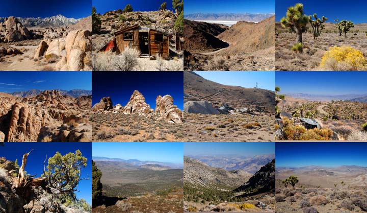
You can buy a 2020 Calendar featuring my photographs of the Basin and Range province in eastern California.
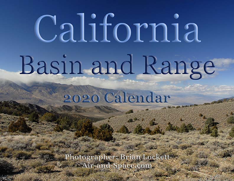
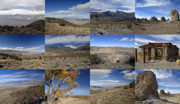
A dozen photos of the Basin and Range province in eastern California. Locations include:
Barber Point in the Inyo Mountains,
Papoose Flat in the Inyo Mountains,
Harkness Flat in the Inyo Mountains,
Panamint Valley,
Ballarat ghost town,
Owens Valley, and
Trona Pinnacles.
Put a copy of the California Basin and Range: 2020 Calendar in your Lulu.com shopping cart for $14.95.
You can buy a 2020 Calendar featuring my very wide angle photographs of eastern California, from the Sierra Nevada to Death Valley. The photos are 9-1/2" x 13-1/2".
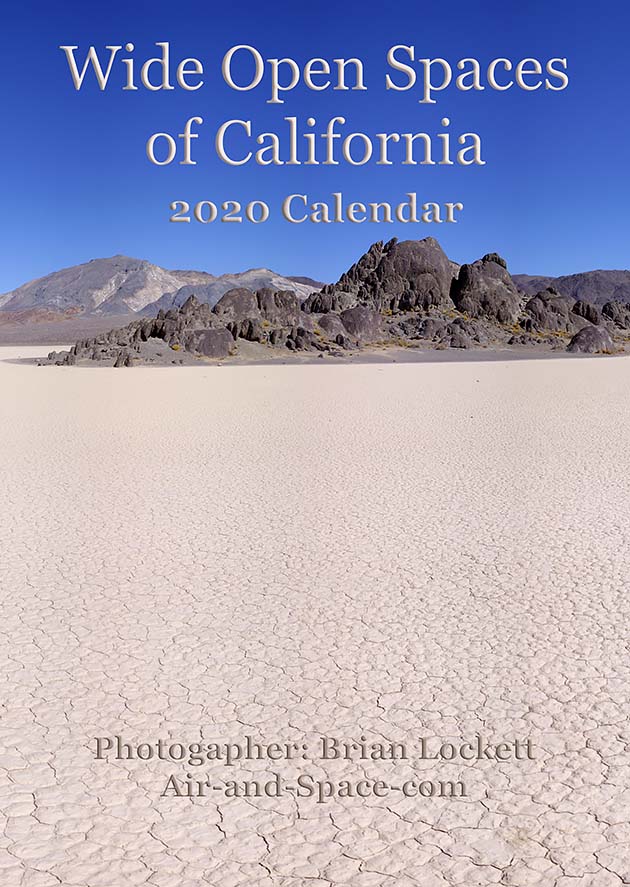
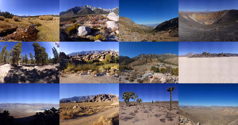
A dozen very wide angle 9-1/2" x 13-1/2" photographs of eastern California, from the Sierra Nevada to Death Valley.
Horseshoe Meadow
Owens Valley
Whitney Portal
Alabama Hills
Cerro Gordo
Holiday Mine, Inyo Mountains
Lee Flat
Ubehebe Crater
Racetrack Playa
Ulida Flat from Hunter Mountain
Put a copy of the Wide Open Spaces of California: 2020 Calendar in your Lulu.com shopping cart for $23.95.
You can buy a 2020 Calendar featuring my Little Planet photographs. The photos are 9-1/2" x 13-1/2".

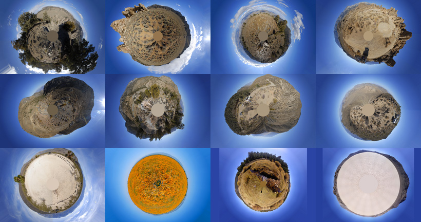
A dozen 9-1/2" x 13-1/2" 360-degree panoramas wrapped in a circle to make little planets. Locations include Antelope Valley, Saline Valley, Hunter Mountain, Racetrack Playa, Horseshoe Meadow, and the Inyo Mountains.
Put a copy of the Little Planets: 2020 Calendar in your Lulu.com shopping cart for $23.95.
- advertisement -
Send a message to Brian.