 (Download a higher resolution picture by clicking on any
picture below.)
(Download a higher resolution picture by clicking on any
picture below.)
Saline Valley |
(Download a higher resolution picture by clicking on any
picture below.)
The Saline Valley is a remote and beautiful part of Death Valley National Park. The primitive roads and utter lack of services make it one of the least visited parts of the park. I strongly recommend 4-wheel-drive, high-clearance vehicles to get there. We get a flat tire on nearly every trip.
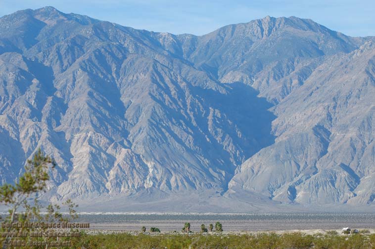
The Saline Valley is bounded on the west by the Inyo Mountains with peaks reaching over 11,000 feet. The bottom of the valley floor is at an elevation two miles below the peaks of the Inyos. The lowest pass out of the valley is almost 4,000 feet higher than the almost dry lakebed.
It's a great place to study geology. Rocks as old as the Paleozoic Era are exposed in the Inyo Mountains and Saline Range. The valley itself is just a few million years old and the geomorphology reveals its geological youth. The deep faults on the perimeter of the valley reach down to the Earth's mantle, resulting in numerous dormant volcanos and basalt flows. Some of the volcanos in the valley are just a few tens of thousands of years old and will erupt again in the future.
Historic relics from salt and borax mining operations in the early years of the twentieth century are found along the length of the main road through the valley. Remnants of the tallest and steepest aerial tramway, in the U.S. at least, can be seen near the lakebed. It was used to transport salt over the Inyo Mountains to the Owens Valley from 1916 to 1932.
The military services take advantage of the remoteness of the Saline Valley to fly their aircraft at very low altitude with a minimum of impact on the public.
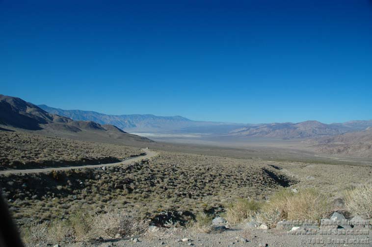
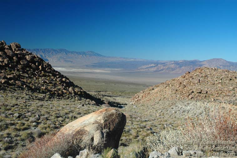
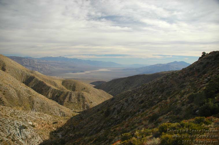 Looking south into the Panamint Valley from the pass into the Saline Valley.
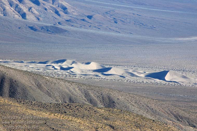
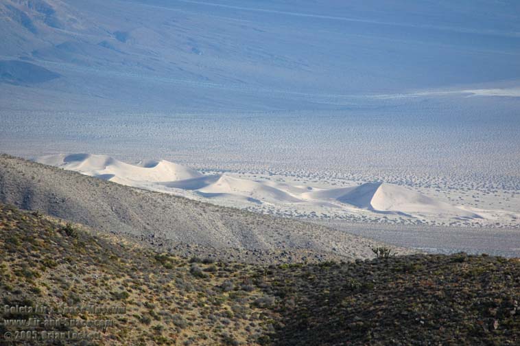 Panamint Dunes
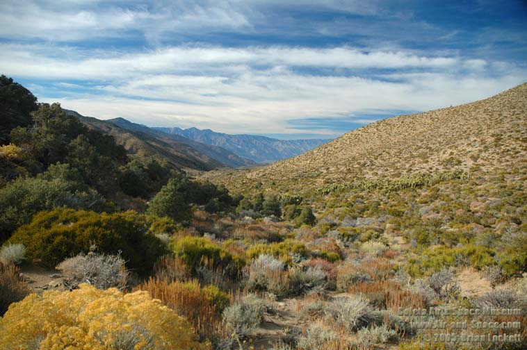 The road through Grapevine Canyon leads down into the Saline Valley.
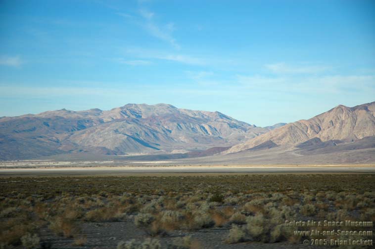
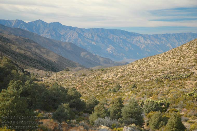 Mt. Inyo and Keynot Peak are taller than 11,000 feet.
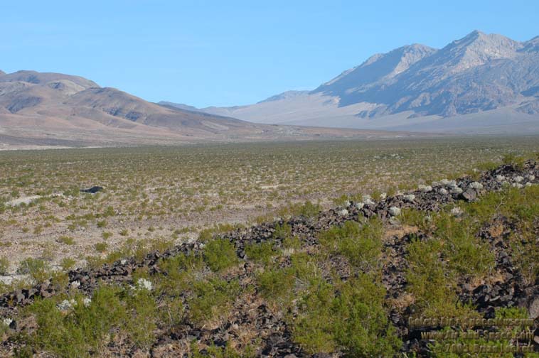
 The Eureka-Saline Corridor leads up to Steel Pass on the east side of the valley.
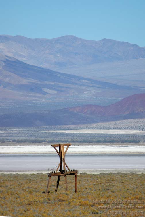
 Pylons remain from the aerial tramway that carried salt over the Inyo Mountains to the Owens Valley in the early years of the twentieth century.
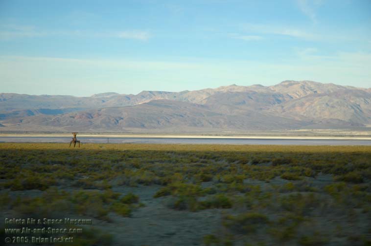
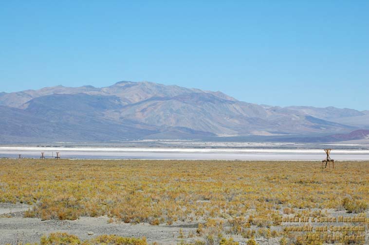
 The Saline Range rises on the far side of Saline Lake.
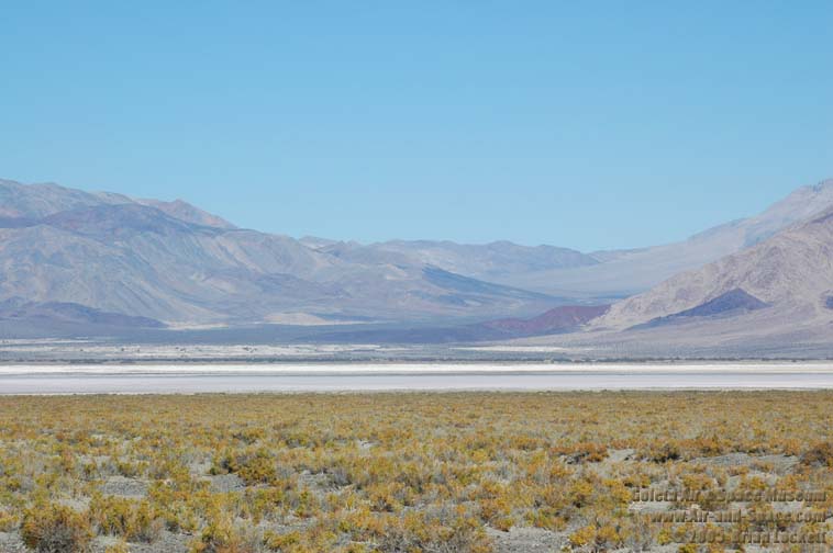
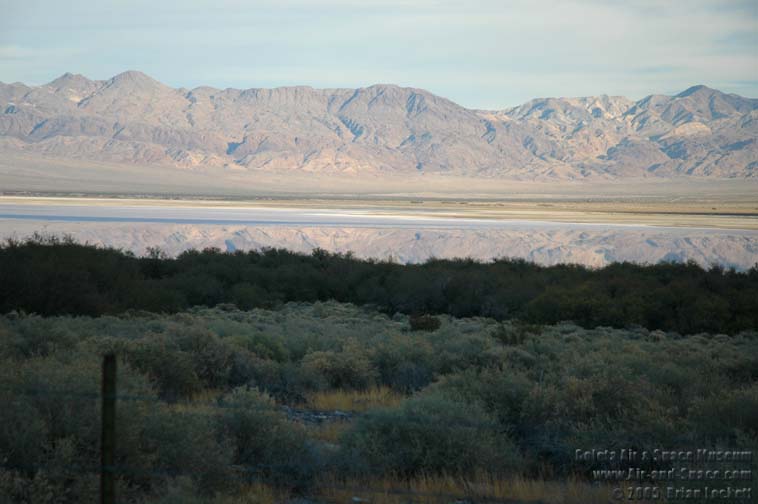 Saline Lake is just a few inches deep.
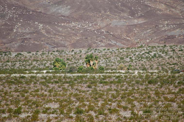
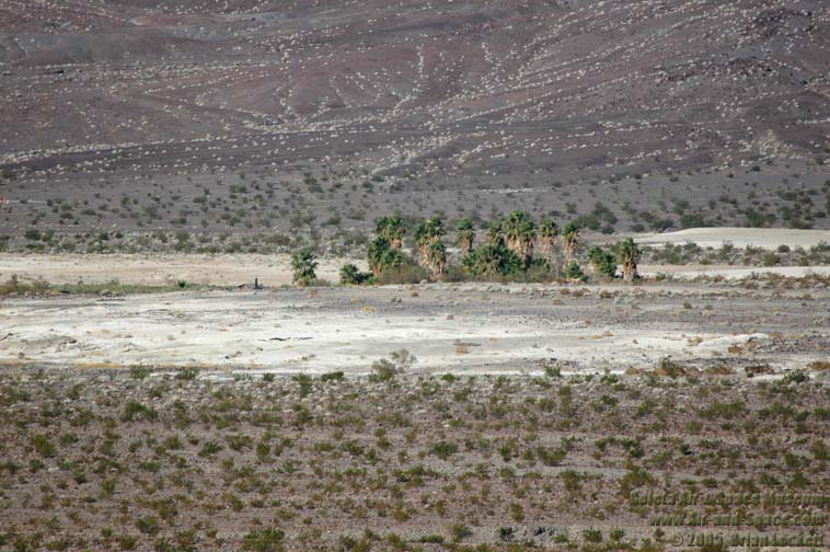
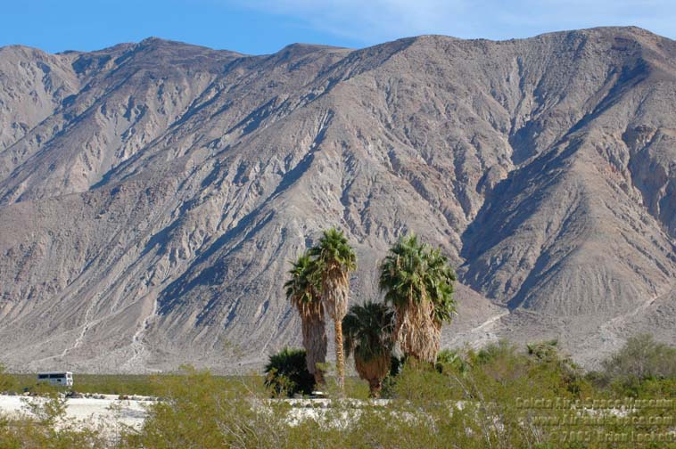
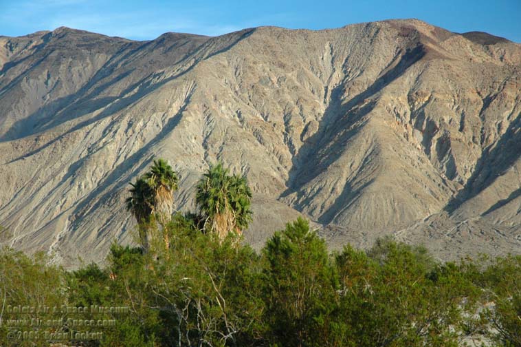
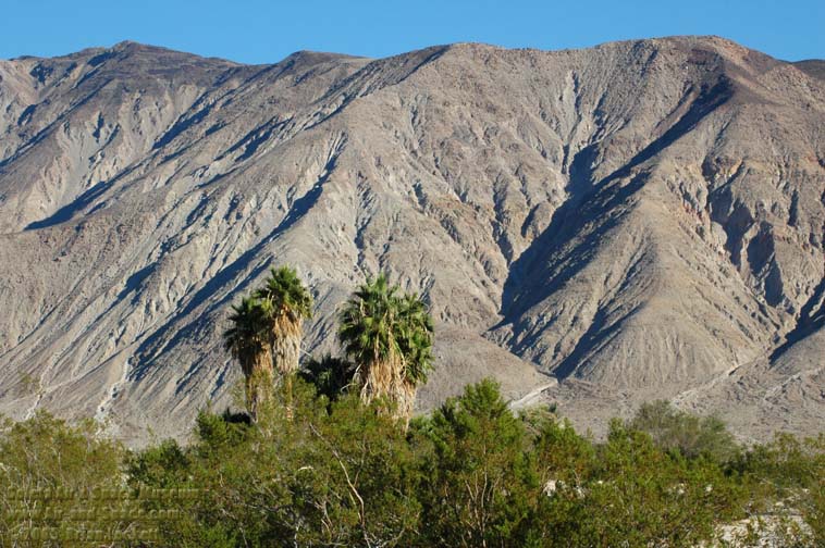
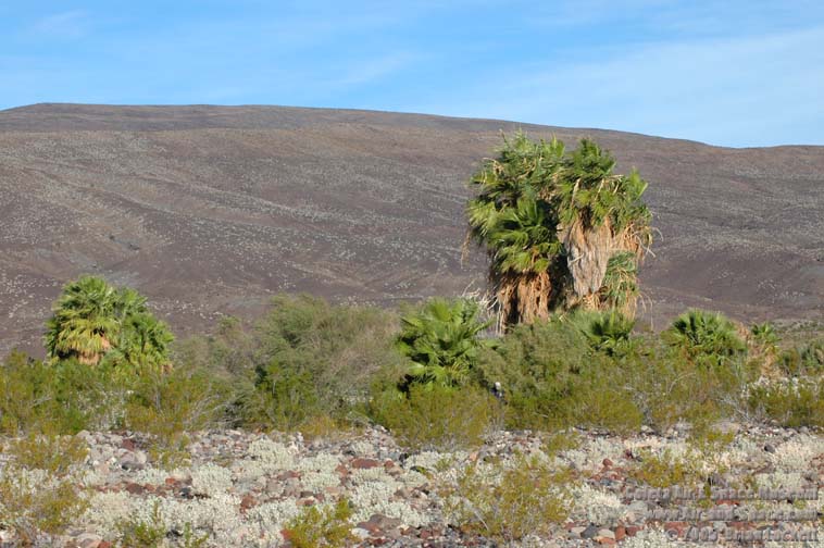 Palm Spring is an oasis on the rocky braided stream that descends out of the Eureka-Saline Corridor.
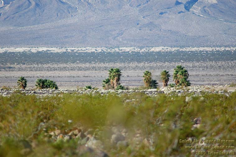 The valley floor is dotted with springs and sand dunes.
 McElvoy Canyon, in the foothills of the Inyo Mountains, contains a spring fed, fern-lined grotto that is cool year round.
 The Eureka-Saline Corridor.
 Anthill
 Eureka-Saline Corridor.
 Palm Spring.
 Palm Spring.
 Lower Springs.
 Lower Springs.
 Extreme wide-angle view of the Eureka-Saline Corridor shows the Inyo Mountains at left, the Saline Range in the middle and the Last Chance Range at the right. The most prominent peaks in the Inyos are New York Butte, Mount Inyo, and Keynot Peak, all higher than 11,000 feet.

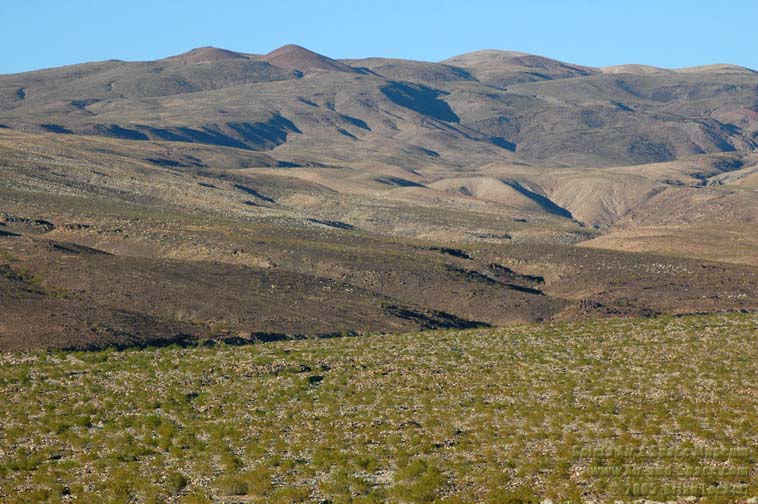
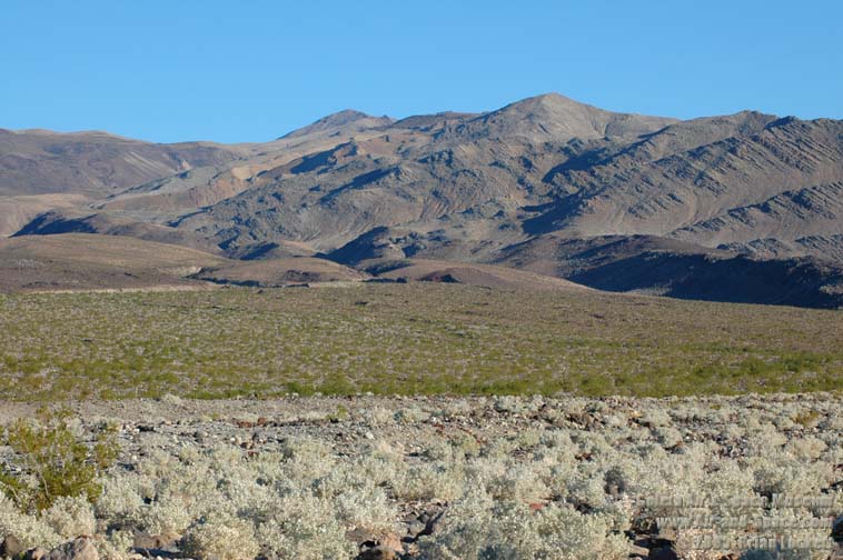
 The mountains in the background are so young that headward erosion has not reached the summit.
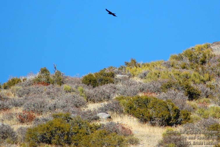
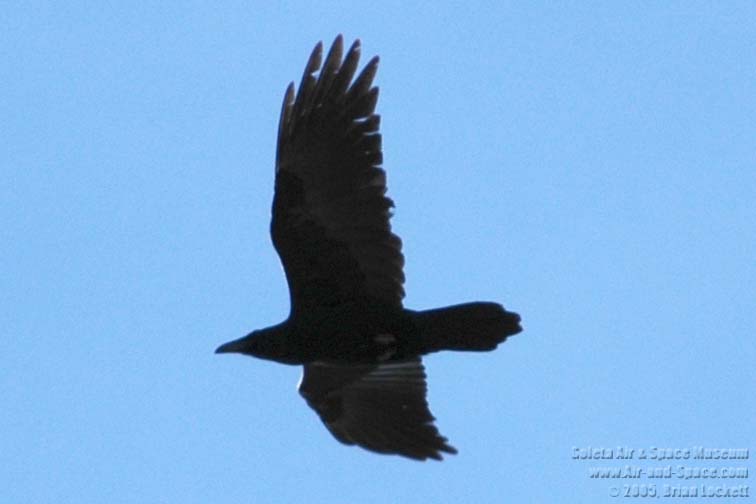 Ravens are constant companions.
 Panoramic view of Palm Spring.
 Palm Spring.
 Palm Spring.
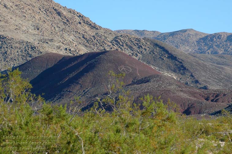
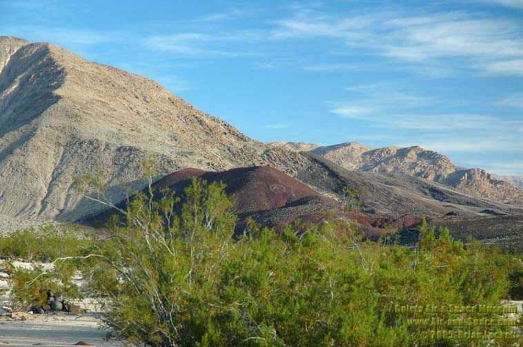 The cinder cone has been adorned with a peace sign since before my first visit in 1985.
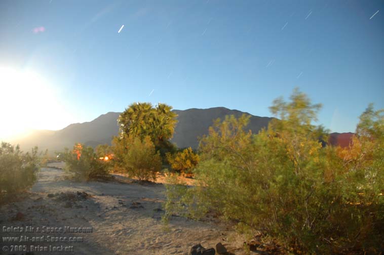
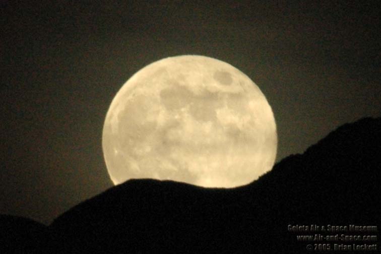 The full Moon illuminated the landscape so brightly that no lights were needed to walk around at night.
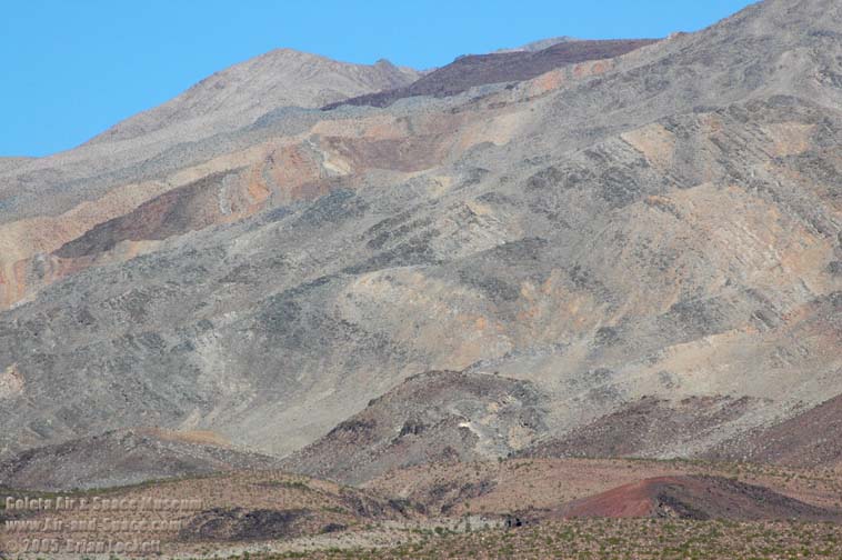 Sedimentary rocks from the Cambrian Age are exposed in the Saline Range.
 The Saline Range.
 Palm Spring.
 Cinder cone.
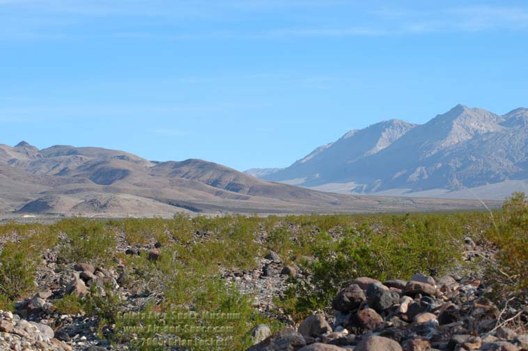
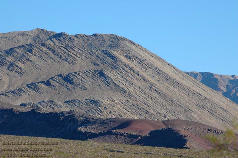
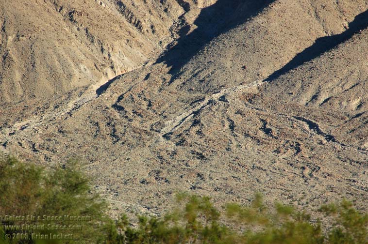 The foothills of the mountains are draped in very steep alluvial fans.
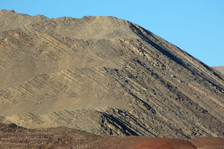
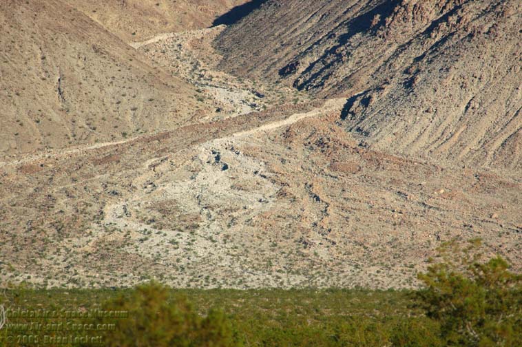 The most recent deposits are the lightest.

 Afternoon shadows on the basalt flow.
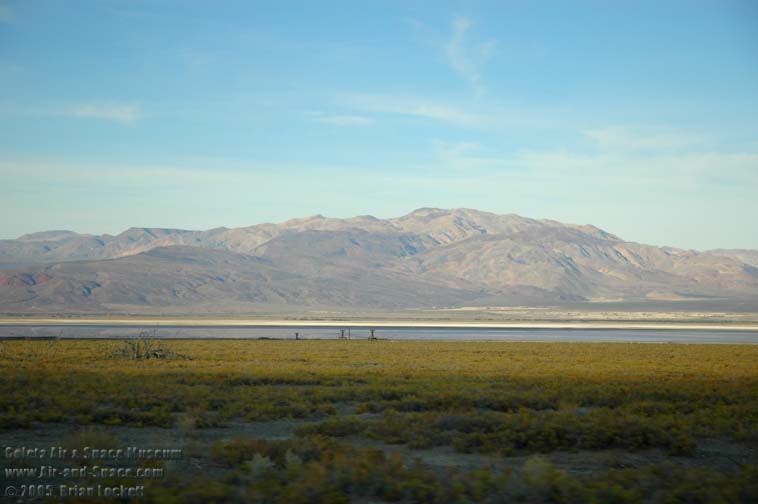
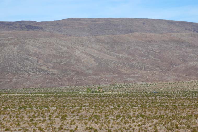
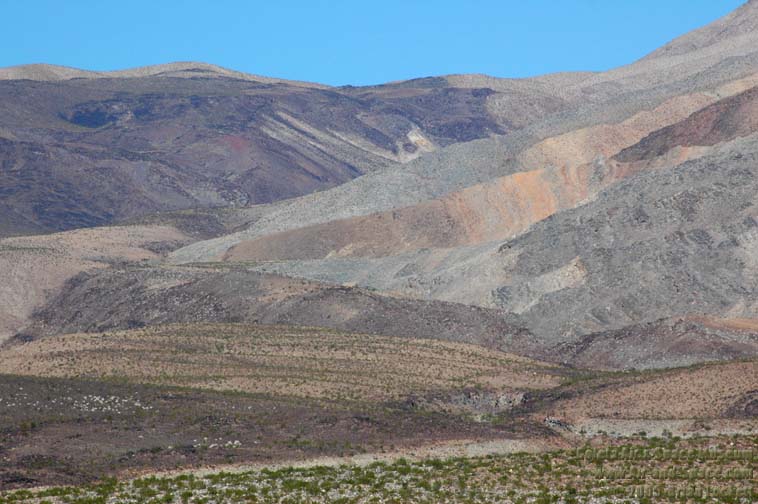
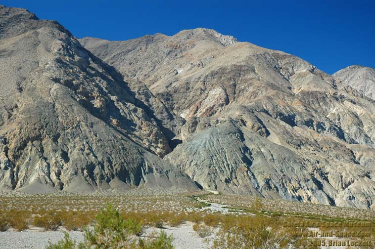
 The Saline Range.
 The Saline Range.
 Palm Springs illuminated by moonlight and Coleman lantern.
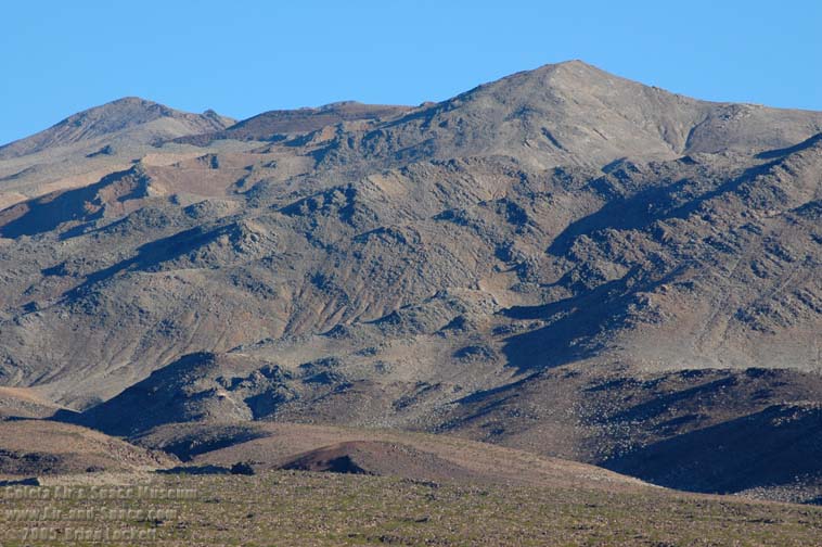 Morning light on the Saline Range.
 Recent rains fed an ephemeral creek.
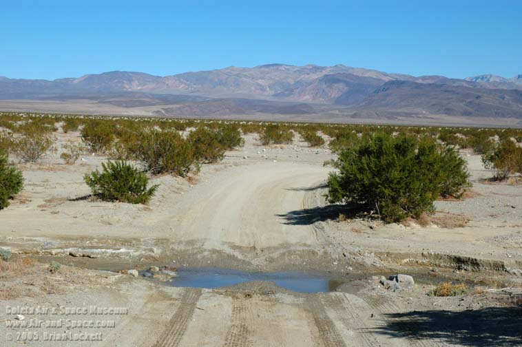 Saline Valley river crossing.
 The camp is at the white patch on the far side of the valley.
 Inyo Mountains
 Salt tram pylons.

 Eureka-Saline Corridor.
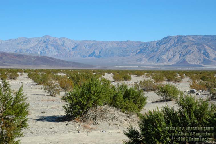
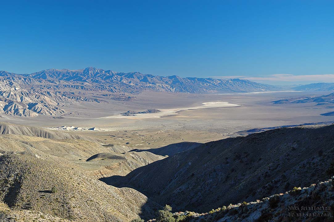
 Saline Valley overlook.
 Raven.
 Panamint Dunes.
 Telescope Peak.
 Panamint Valley.
 Get the perspective of a long-term resident of the Saline Valley at Memoirs of Saline Valley: a View from the Outhouse.
- advertisement -
You can buy a 2020 Calendar featuring my photographs of Californias High Desert.
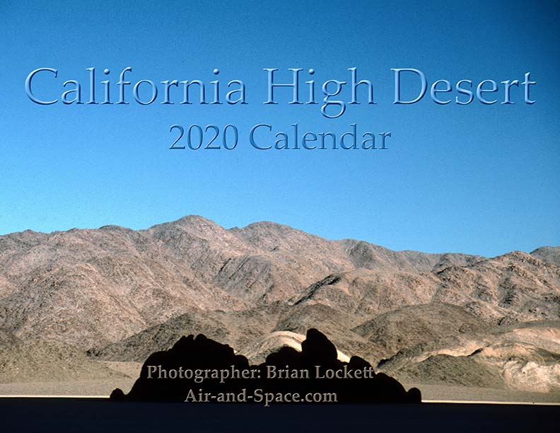
California High Desert locations include Owens Valley, Panamint Valley, Saline Valley and the Inyo Mountains.
 Put a copy of the California High Desert 2020 Calendar in your Lulu.com shopping cart for $14.95.
You can buy a 2020 Calendar featuring my photographs of the Mojave Desert.
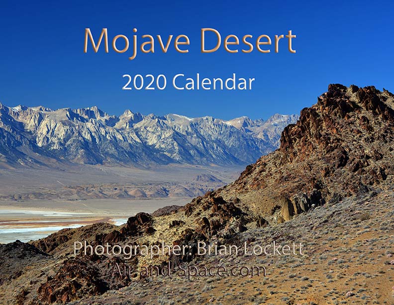
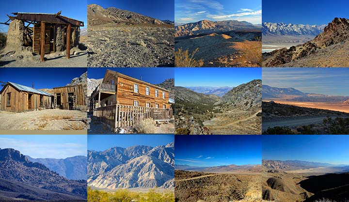
A dozen photos of the Mojave Desert. Locations include the Panamint Valley, the ghost town of Ballarat, the ghost town of Cerro Gordo, the Inyo Mountains, and the Saline Valley.
Put a copy of the Mojave Desert 2020 Calendar in your Lulu.com shopping cart for $14.95.
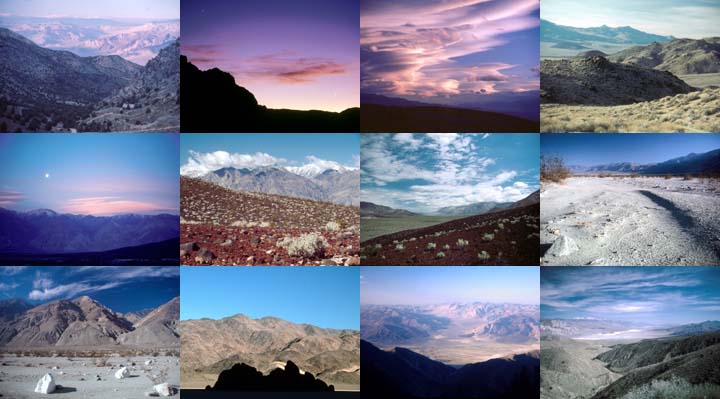
You can buy a 2020 Calendar featuring my photographs of the Saline and Panamint Valleys.
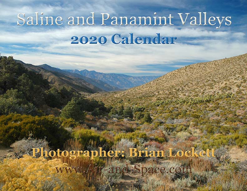
A dozen photos of the Saline and Panamint Valleys. The Saline Valley is a remote and beautiful part of Death Valley National Park. The primitive roads and utter lack of services make it one of the least visited parts of the park. I strongly recommend 4-wheel-drive, high-clearance vehicles to get there. We get a flat tire on nearly every trip. The Saline Valley is bounded on the west by the Inyo Mountains with peaks reaching over 11,000 feet. The bottom of the valley floor is at an elevation two miles below the peaks of the Inyos. The lowest pass out of the valley is almost 4,000 feet higher than the almost dry lakebed.
Put a copy of the Saline and Panamint Valleys 2020 Calendar in your Lulu.com shopping cart for $14.95.
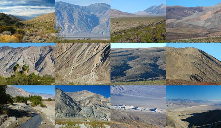
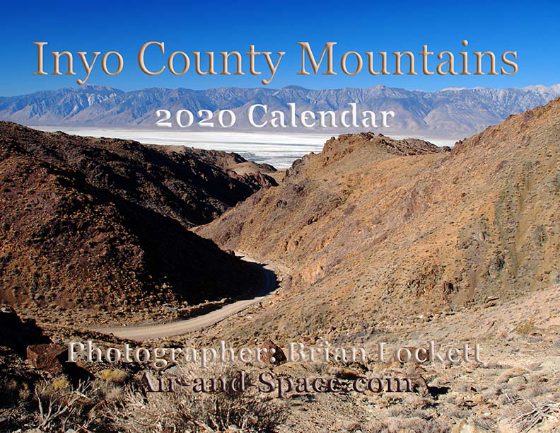
You can buy a 2020 Calendar featuring my photographs of Inyo County Mountains.
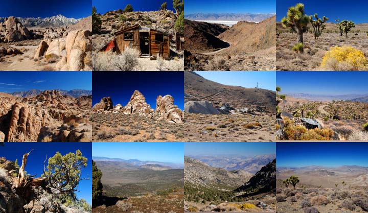
A dozen photos of mountainous terrain in Inyo County. Locations include:
Alabama Hills
Papoose Flat Road in the Inyo Mountains,
Hines Road in the Inyo Mountains,
Cerro Gordo in the Inyo Mountains,
Lee Flat, and
Hunter Mountain.
Put a copy of the Inyo County Mountains: 2020 Calendar in your Lulu.com shopping cart for $14.95.
You can buy a 2020 Calendar featuring my photographs of the Basin and Range province in eastern California.
A dozen photos of the Basin and Range province in eastern California. Locations include:
Barber Point in the Inyo Mountains,
Papoose Flat in the Inyo Mountains,
Harkness Flat in the Inyo Mountains,
Panamint Valley,
Ballarat ghost town,
Owens Valley, and
Trona Pinnacles.
Put a copy of the California Basin and Range: 2020 Calendar in your Lulu.com shopping cart for $14.95.
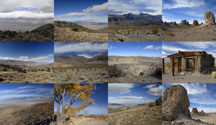
You can buy a 2020 Calendar featuring my very wide angle photographs of eastern California, from the Sierra Nevada to Death Valley. The photos are 9-1/2" x 13-1/2".
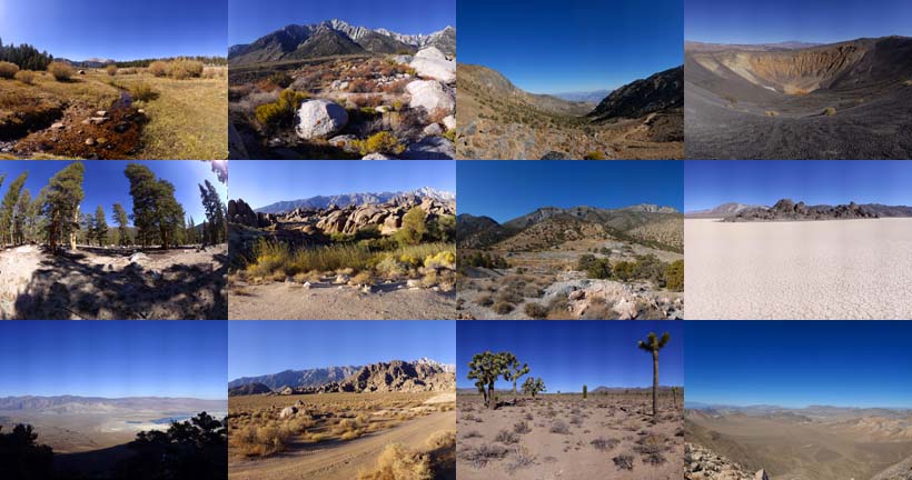
A dozen very wide angle 9-1/2" x 13-1/2" photographs of eastern California, from the Sierra Nevada to Death Valley.
Horseshoe Meadow
Owens Valley
Whitney Portal
Alabama Hills
Cerro Gordo
Holiday Mine, Inyo Mountains
Lee Flat
Ubehebe Crater
Racetrack Playa
Ulida Flat from Hunter Mountain
Put a copy of the Wide Open Spaces of California: 2020 Calendar in your Lulu.com shopping cart for $23.95.
You can buy a 2020 Calendar featuring my Little Planet photographs. The photos are 9-1/2" x 13-1/2".

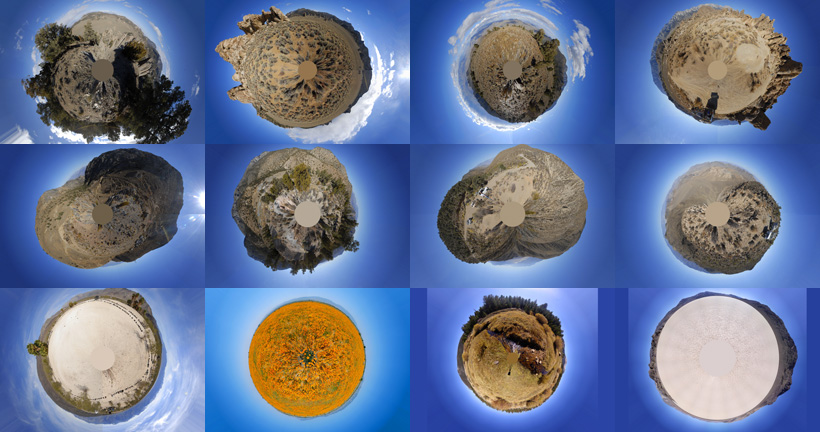
A dozen 9-1/2" x 13-1/2" 360-degree panoramas wrapped in a circle to make little planets. Locations include Antelope Valley, Saline Valley, Hunter Mountain, Racetrack Playa, Horseshoe Meadow, and the Inyo Mountains.
Put a copy of the Little Planets: 2020 Calendar in your Lulu.com shopping cart for $23.95.
- advertisement -
Send a message to Brian .