
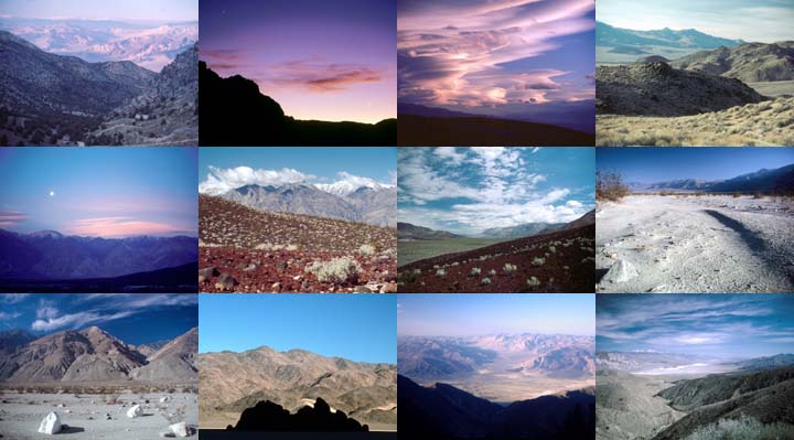
Inyo County Tour, October 9, 2007 |
(Download a higher resolution picture by clicking on any
picture below.)
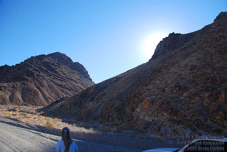
On Tuesday, October 9, we drove over Cerro Gordo Pass in the Inyo Mountains, then cruised through Lee Flat on our way to Hunter Mountain.
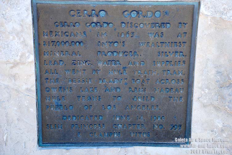
Cerro GordoCerro Gordo, discovered by Mexicans in 1865 was at $17,000,000 Inyo's wealthiest mineral producer. Silver, lead, zinc, water and supplies all went by mule train and tram, the "Bessie Brady" boat across Owens Lake and Remi Nadeau mule teams to build the pueblo of Los Angeles.
Dedicated June 14, 1980
Slim Princess Chapter No. 395
 A tram car is still suspended from a cable high above the canyon.
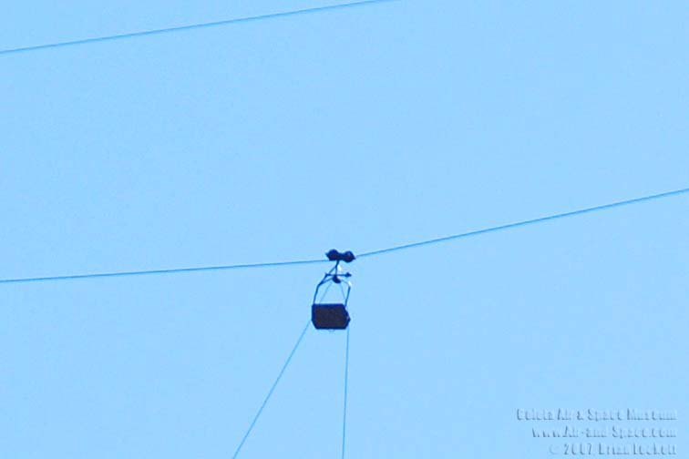 The tram car has been hanging there for decades.
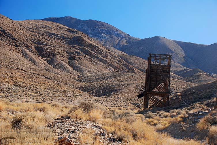 Tram towers and cables lead the way up to Cerro Gordo. The tram can be seen in operation in the 1957 movie Night Passage with James Stewart.


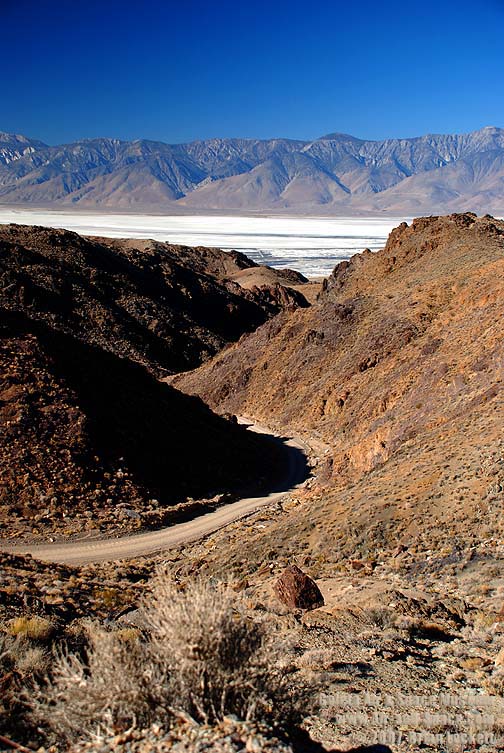

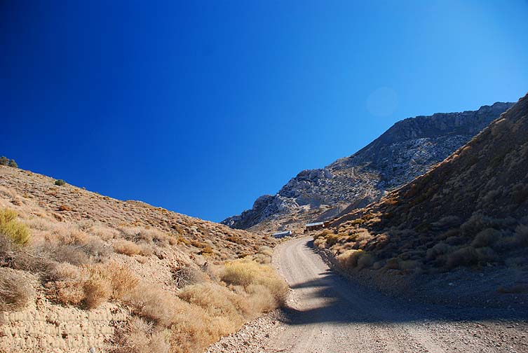
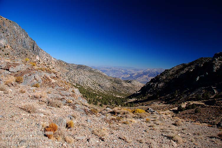
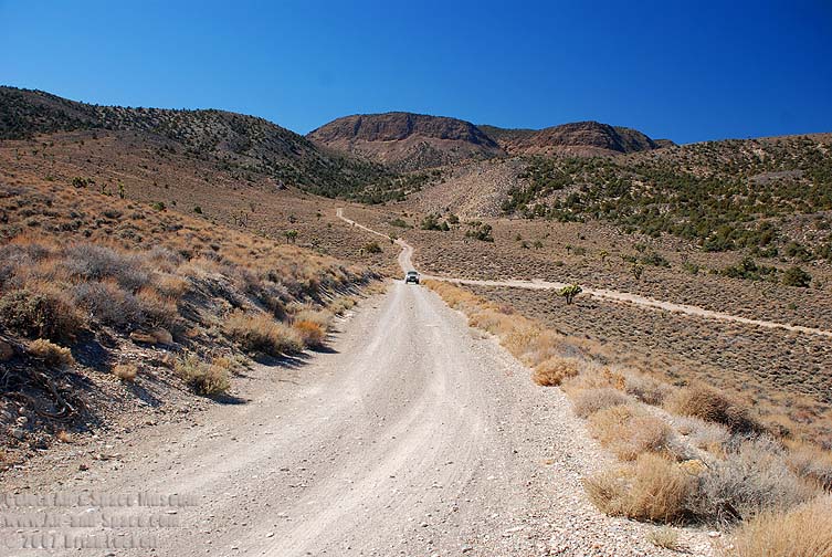
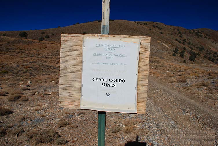 Mexican Spring Road A.K.A. Cerro Gordo/Swansea Road to the Saline Valley salt tram is the most frightening road that I have ever driven.
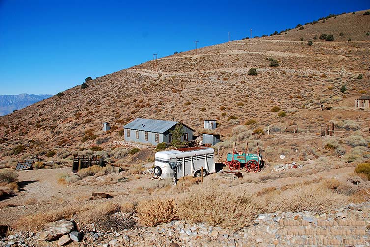
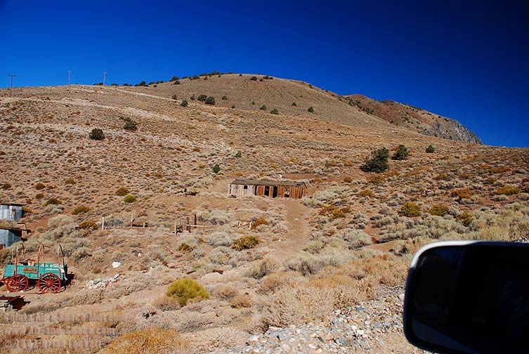
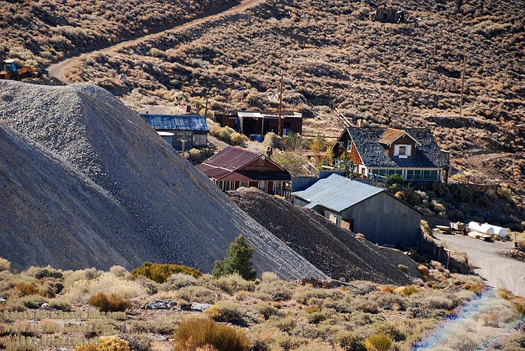
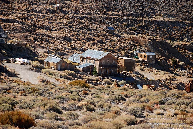
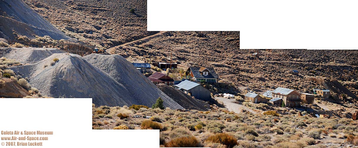
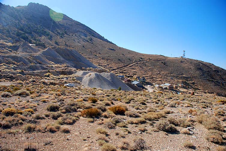 The ghost town of Cerro Gordo

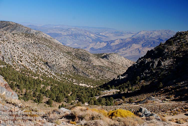
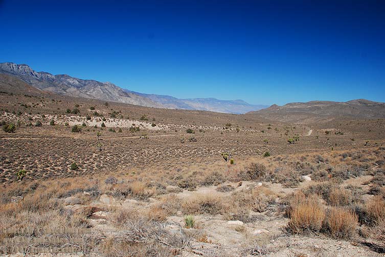
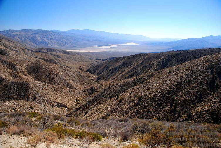
 The view into the Saline Valley from Cerro Gordo.
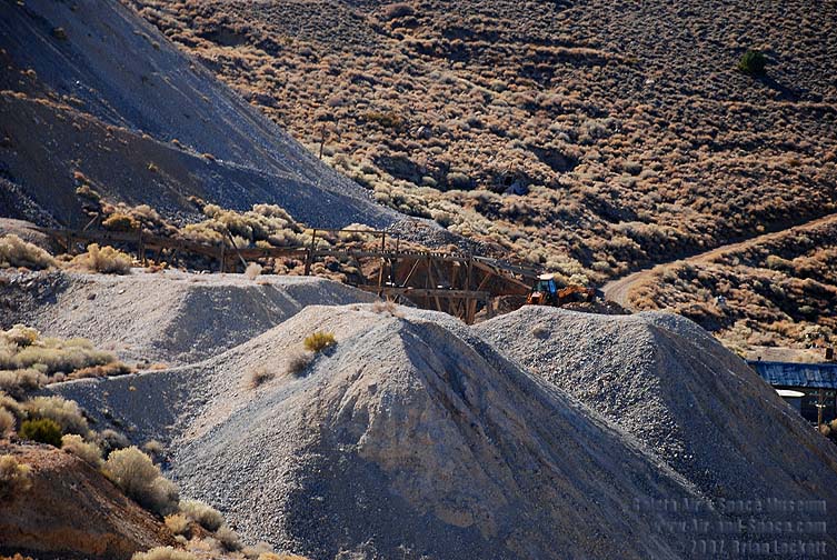
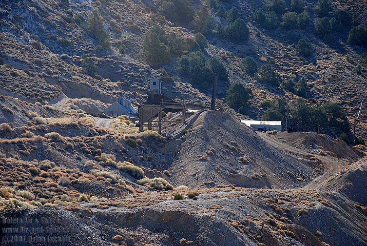 Some of the mine workings appear to be resenct.
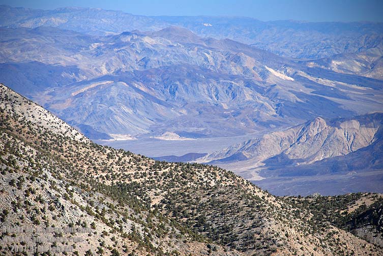
 The Eureka-Saline corridor leads to the Eureka Valley.
 Palm Spring in the Saline Valley is hidden behind the ridge in the foreground. The red cinder cone in the center of the picture is within walking distance of the camp.
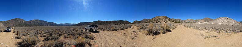
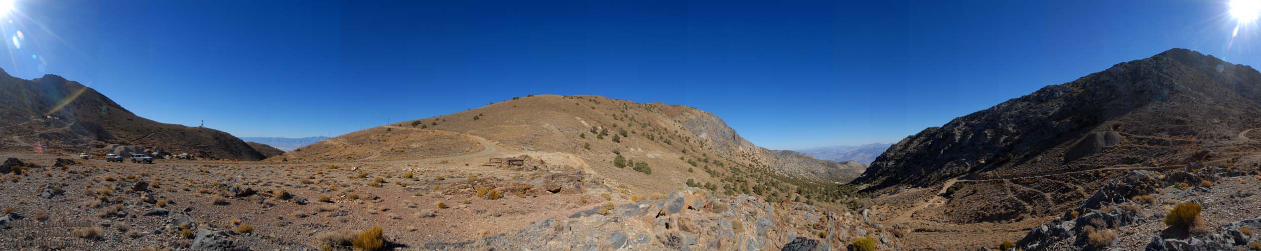 360-degree panorama of Cerro Gordo Pass at an elevation of 8,200 feet. The ghost town of Cerro Gordo is at left. The Sierra Nevada can be seen on the far side of Owens Valley. The mountain at center is 9,200 feet tall. The Eureka Saline Corridor leads up to Steele Pass on the far side of the Saline Valley. Cerro Gordo Peak at right is 9,100 feet tall.
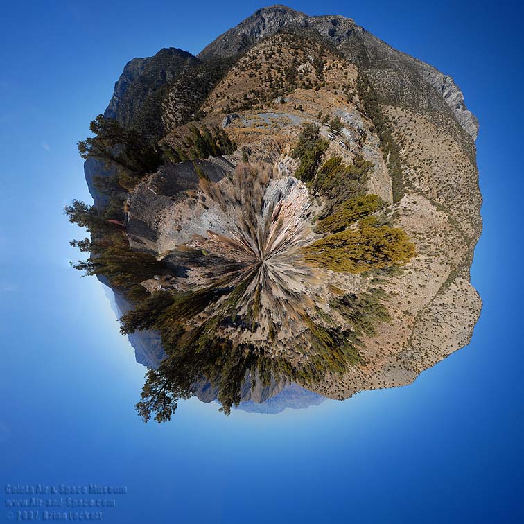
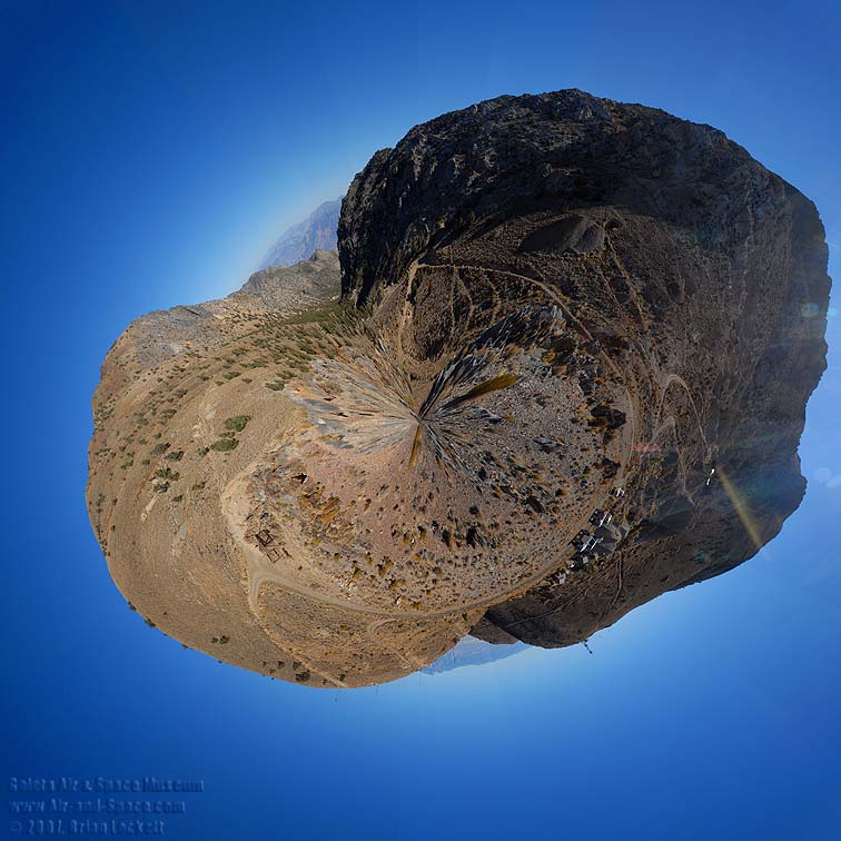 Little planet view of Cerro Gordo Pass.
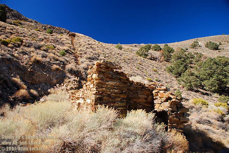 This stone structure is connected to another structure farther up the mountain.
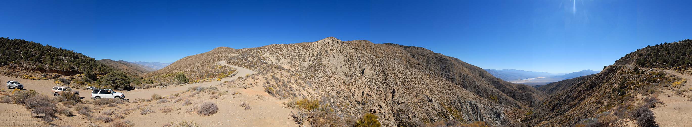
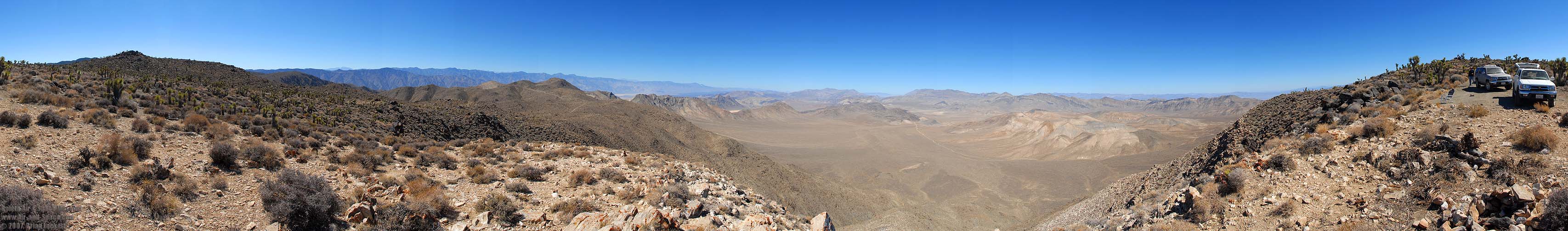
 360-degree panorama taken from the Holiday Mine at an elevation of 6,700 feet. Cerro Gordo is on the left. Tin Mountain and Dry Mountain are visible on the far side of the Saline Valley. The Nelson Range and Lee Flat are at right. The Panamint Mountains are faintly visible on the horizon.
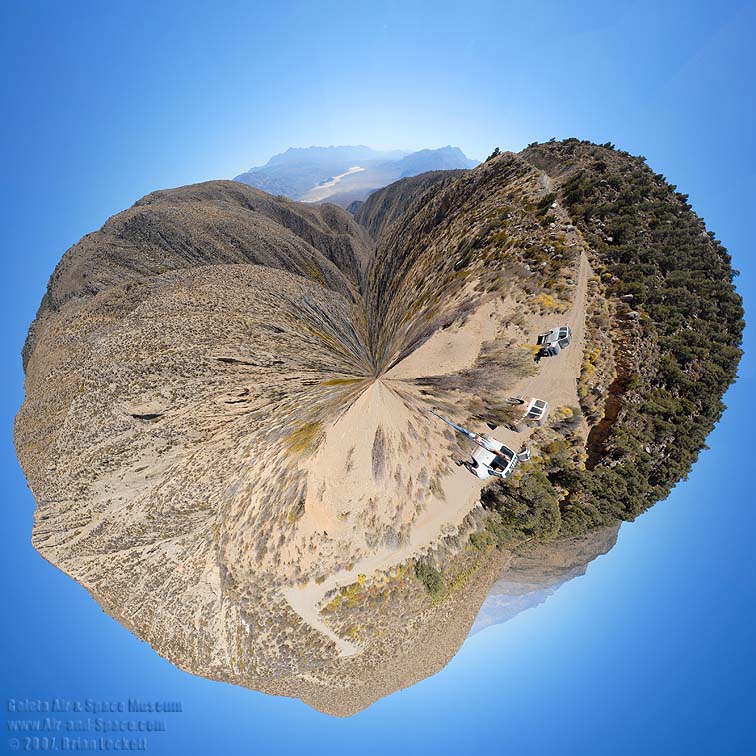
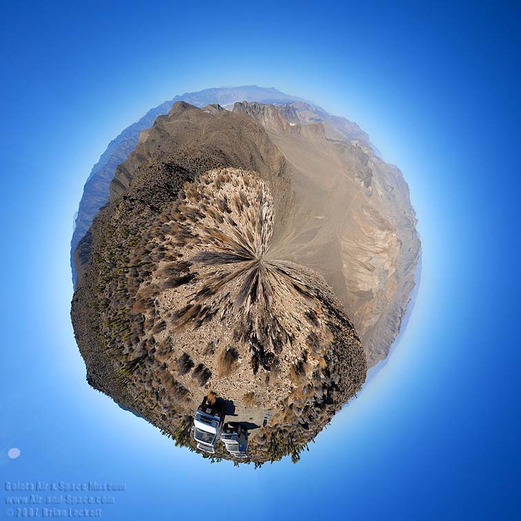
 Little planet view from the Holiday Mine.
 We drove up the White Mountain Talc Road from the right.
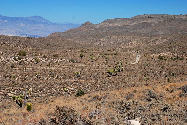
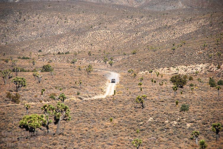
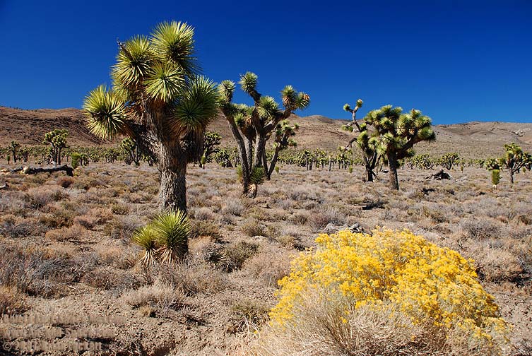
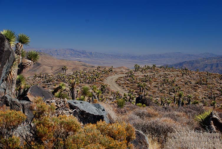
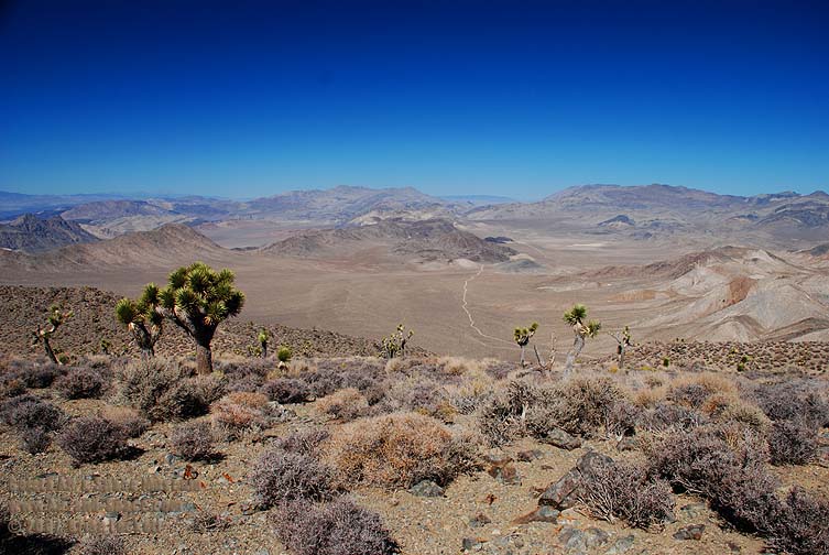
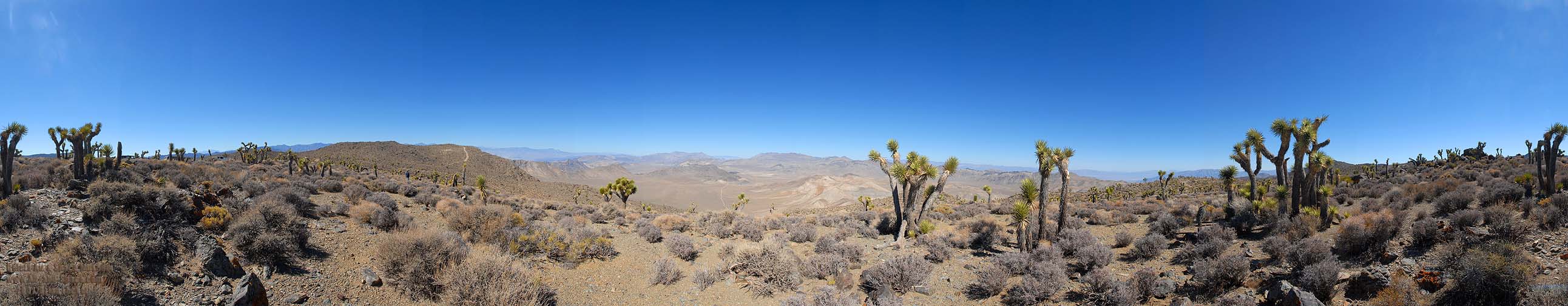
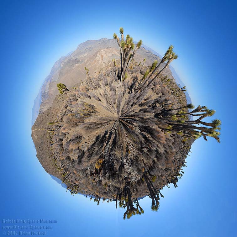
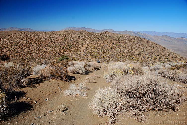
 Lee Flat is the densest Joshua Tree Forest that I know of.

 360-degree panorama from the south pass into the Saline Valley at an elevation of 5,900 feet. Grapevine Canyon Leads down into the Saline Valley at left. Hunter Mountain is in the middle. Panamint Valley is at right.
 Little planet view from the south pass into the Saline Valley.
 Death Valley can be seen to the southeast from Hunter Mountain.
 Hidden Valley
 360-degree panorama from Hunter Mountain at an elevation of 6,500 feet. The peaks of the Inyo Mountains are visible at left. Hidden Valley is in the middle and Death Valley is to the right.
 Little planet view from Hunter Mountain.
 360-degree panorama from Hunter Mountain at an elevation of 6,500 feet. The Nelson Range and the peaks of the Sierra Nevada are visible at left. The Saline Valley and Inyo Mountains are left of center. The White Mountains are faintly visible beyond Racetrack Playa in the middle. Hidden Valley is to the right of center.
 Little planet view from Hunter Mountain.
 This climb is steeper than it looks.
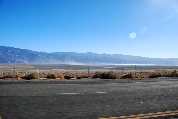 The plume of dust blowing off Owens Lake illustrates the wind that made me decide to abandon my plans to spend the day in the Saline Valley.
 On Monday, October 8, we toured the Alabama Hills and then drove up to Papoose Flat in the Inyo Mountains.
- advertisement -
You can buy a 2020 Calendar featuring my photographs of Californias High Desert.
California High Desert locations include Owens Valley, Panamint Valley, Saline Valley and the Inyo Mountains.
 Put a copy of the California High Desert 2020 Calendar in your Lulu.com shopping cart for $14.95.
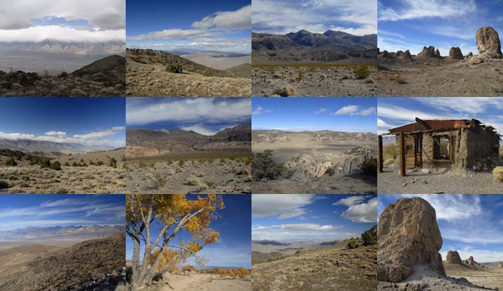
You can buy a 2020 Calendar featuring my photographs of the Mojave Desert.
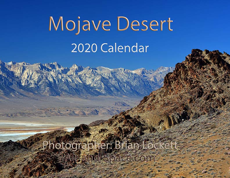
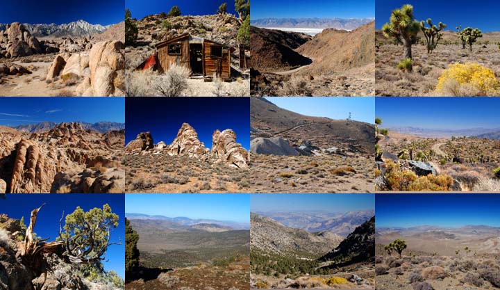
A dozen photos of the Mojave Desert. Locations include the Panamint Valley, the ghost town of Ballarat, the ghost town of Cerro Gordo, the Inyo Mountains, and the Saline Valley.
Put a copy of the Mojave Desert 2020 Calendar in your Lulu.com shopping cart for $14.95.
You can buy a 2020 Calendar featuring my photographs of the Saline and Panamint Valleys.
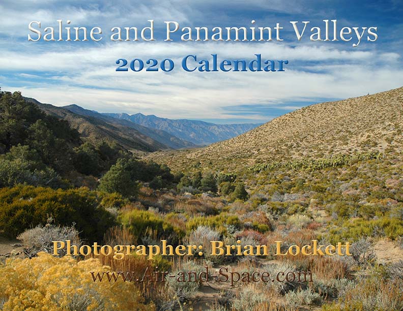
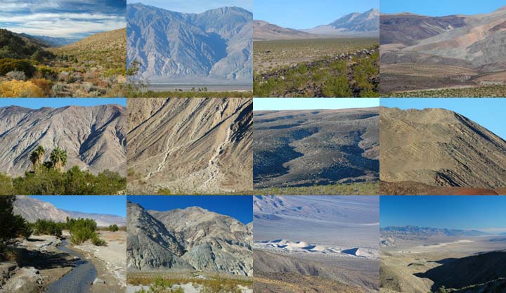
A dozen photos of the Saline and Panamint Valleys. The Saline Valley is a remote and beautiful part of Death Valley National Park. The primitive roads and utter lack of services make it one of the least visited parts of the park. I strongly recommend 4-wheel-drive, high-clearance vehicles to get there. We get a flat tire on nearly every trip. The Saline Valley is bounded on the west by the Inyo Mountains with peaks reaching over 11,000 feet. The bottom of the valley floor is at an elevation two miles below the peaks of the Inyos. The lowest pass out of the valley is almost 4,000 feet higher than the almost dry lakebed.
Put a copy of the Saline and Panamint Valleys 2020 Calendar in your Lulu.com shopping cart for $14.95.
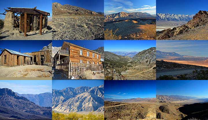
You can buy a 2020 Calendar featuring my photographs of Inyo County Mountains.
A dozen photos of mountainous terrain in Inyo County. Locations include:
Alabama Hills
Papoose Flat Road in the Inyo Mountains,
Hines Road in the Inyo Mountains,
Cerro Gordo in the Inyo Mountains,
Lee Flat, and
Hunter Mountain.
Put a copy of the Inyo County Mountains: 2020 Calendar in your Lulu.com shopping cart for $14.95.
You can buy a 2020 Calendar featuring my photographs of the Basin and Range province in eastern California.
A dozen photos of the Basin and Range province in eastern California. Locations include:
Barber Point in the Inyo Mountains,
Papoose Flat in the Inyo Mountains,
Harkness Flat in the Inyo Mountains,
Panamint Valley,
Ballarat ghost town,
Owens Valley, and
Trona Pinnacles.
Put a copy of the California Basin and Range: 2020 Calendar in your Lulu.com shopping cart for $14.95.
You can buy a 2020 Calendar featuring my very wide angle photographs of eastern California, from the Sierra Nevada to Death Valley. The photos are 9-1/2" x 13-1/2".
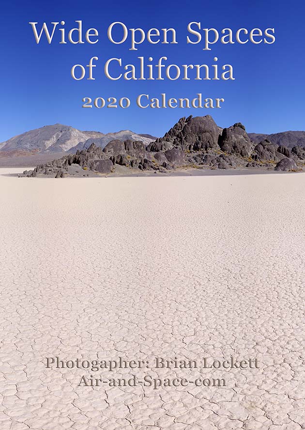
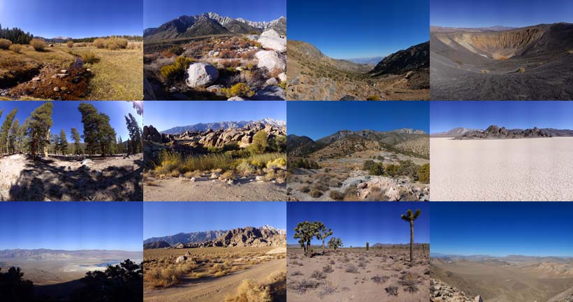
A dozen very wide angle 9-1/2" x 13-1/2" photographs of eastern California, from the Sierra Nevada to Death Valley.
Horseshoe Meadow
Owens Valley
Whitney Portal
Alabama Hills
Cerro Gordo
Holiday Mine, Inyo Mountains
Lee Flat
Ubehebe Crater
Racetrack Playa
Ulida Flat from Hunter Mountain
Put a copy of the Wide Open Spaces of California: 2020 Calendar in your Lulu.com shopping cart for $23.95.
You can buy a 2020 Calendar featuring my Little Planet photographs. The photos are 9-1/2" x 13-1/2".

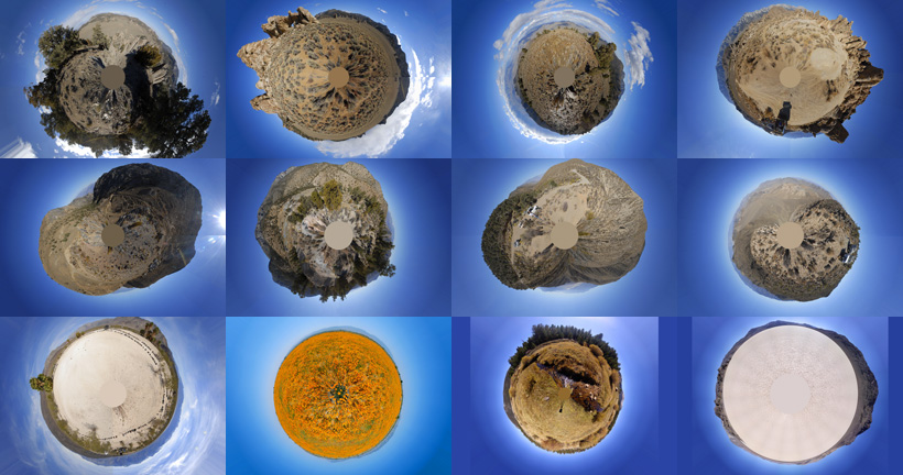
A dozen 9-1/2" x 13-1/2" 360-degree panoramas wrapped in a circle to make little planets. Locations include Antelope Valley, Saline Valley, Hunter Mountain, Racetrack Playa, Horseshoe Meadow, and the Inyo Mountains.
Put a copy of the Little Planets: 2020 Calendar in your Lulu.com shopping cart for $23.95.
- advertisement -
See where these photos were taken with Google Earth.
Send a message to Brian.