
Spring Time in Saline Valley, April 2010
|
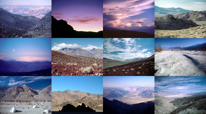
I spent five days camping in the Saline Valley in April 2010. Lows were in the 40s, the highs were in the eighties. The sky was mostly cloudless. The wind was fairly calm until the last two nights.
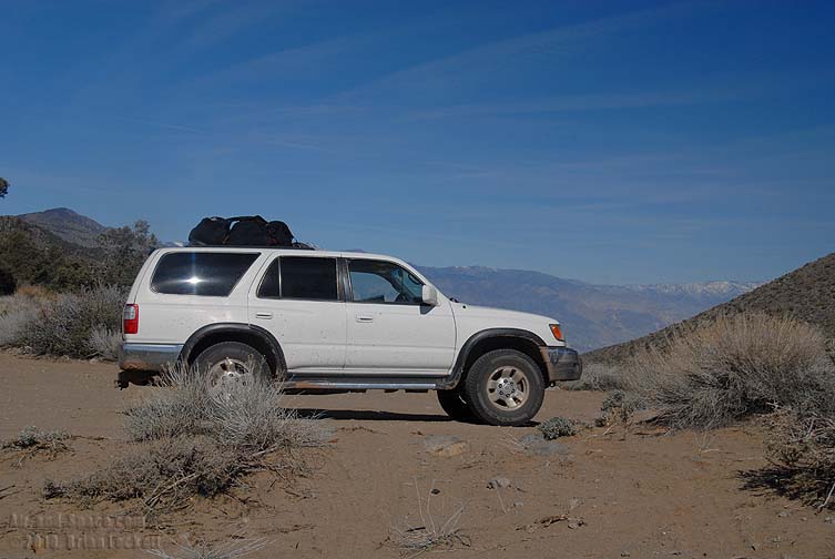
I arrived a day after the other campers and drove into the valley solo. It is 45 miles from the paved road to the camp.
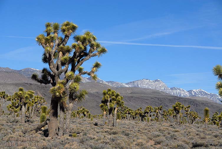
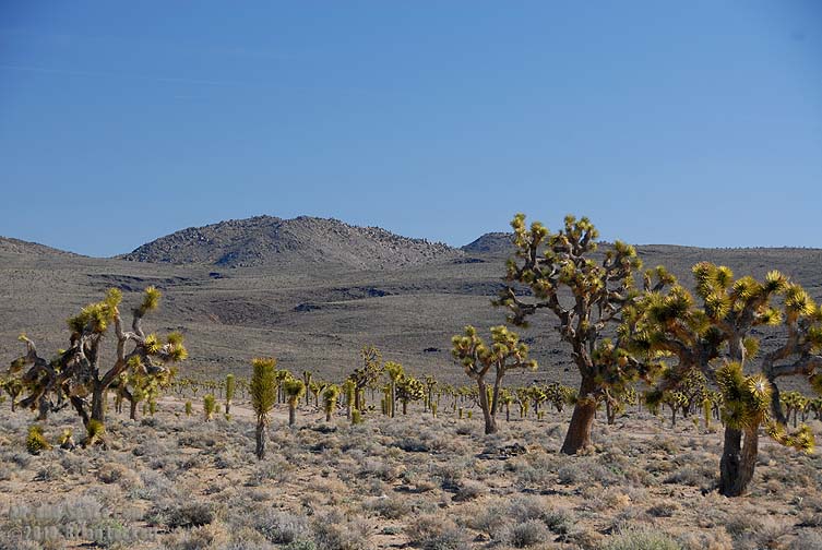
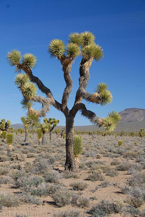
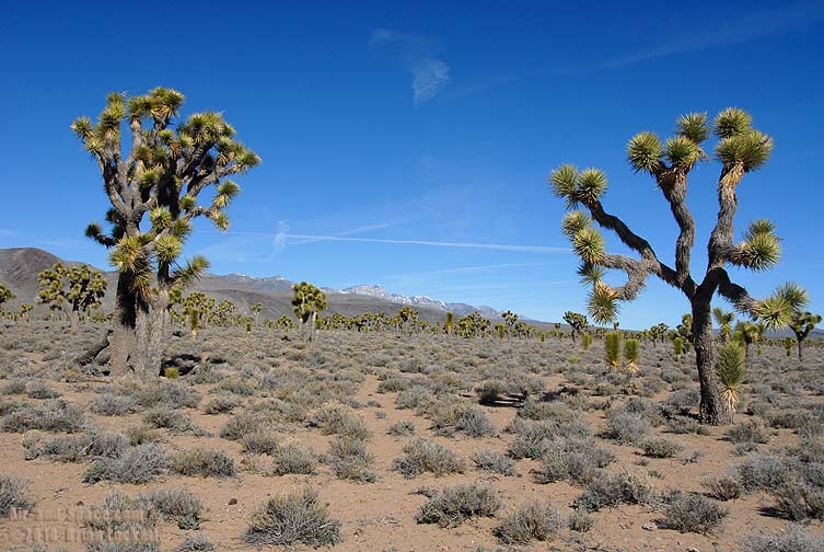
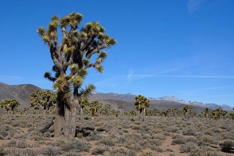
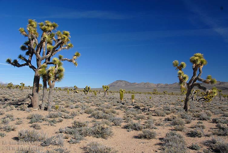
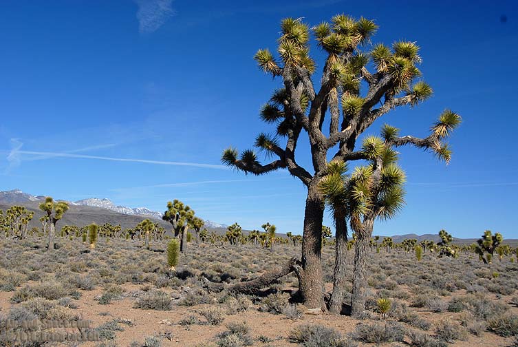
The route into the Saline Valley from the south crosses Lee Flat at an elevation of one mile. Lee Flat has a dense Joshua Tree forest.
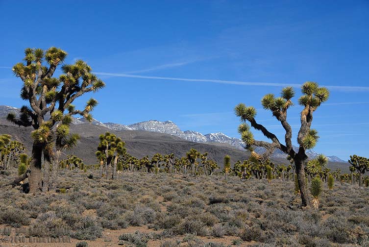 A recent storm had dropped fresh snow on the Inyo Mountains.

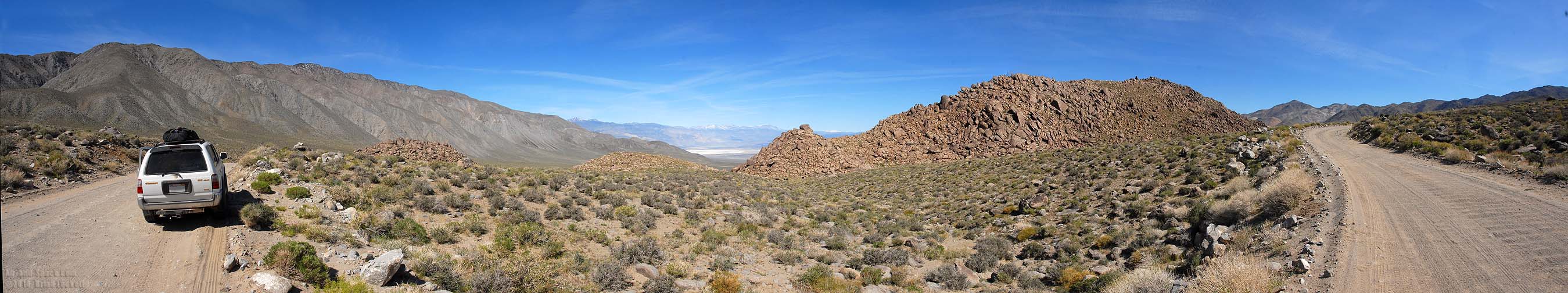
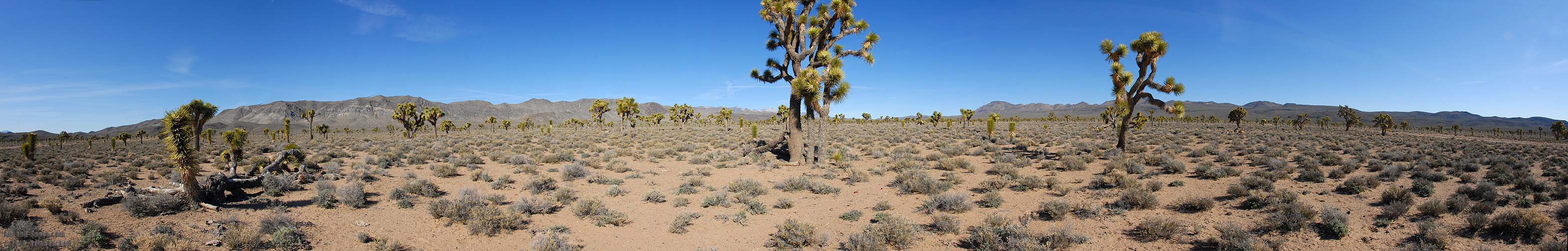 Panoramic view of Lee Flat
You can buy framed prints and greeting cards of this photo.
 The road leads into the Saline Valley through the South Pass at an elevation of 6,000 feet.
 Panamint Valley was hazy with wind blown dust from the recent storm.
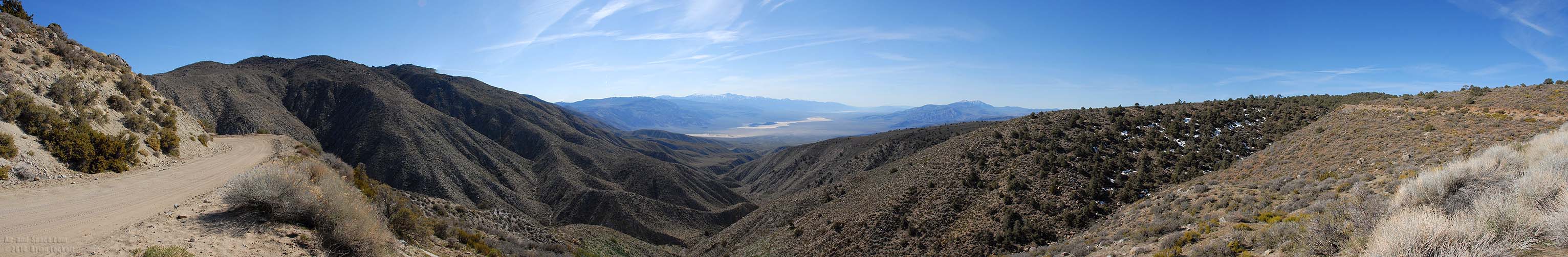 Panoramic view of Panamint Valley.
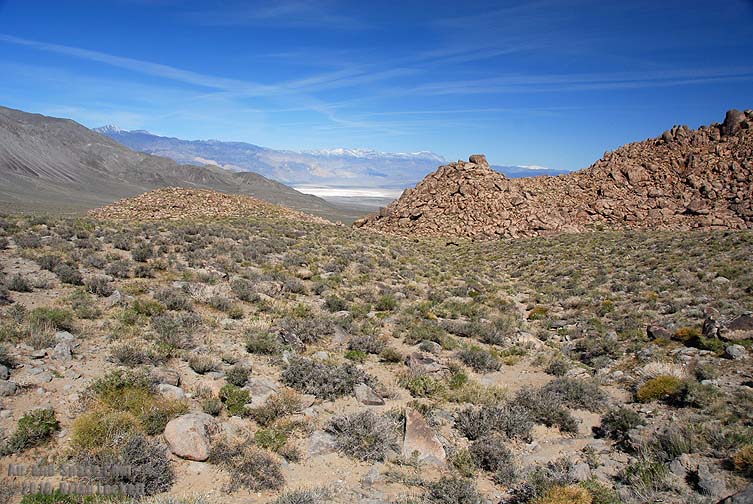
 The South Pass provides the first glimpse into the Saline Valley.
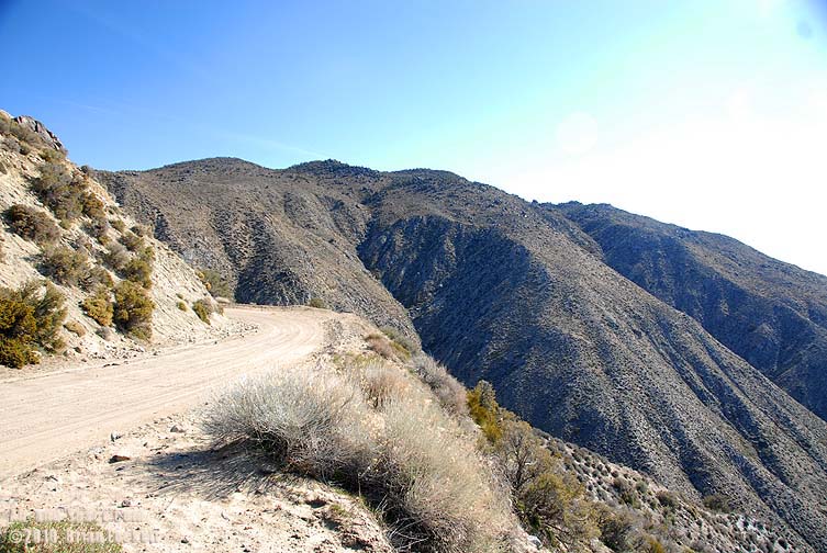
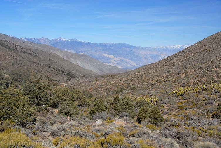
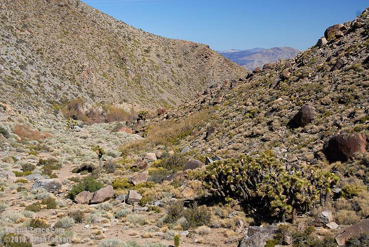
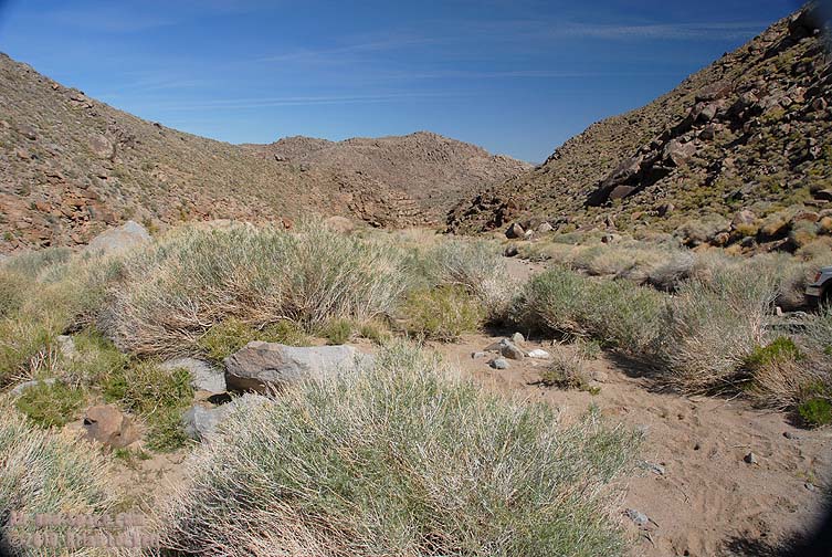
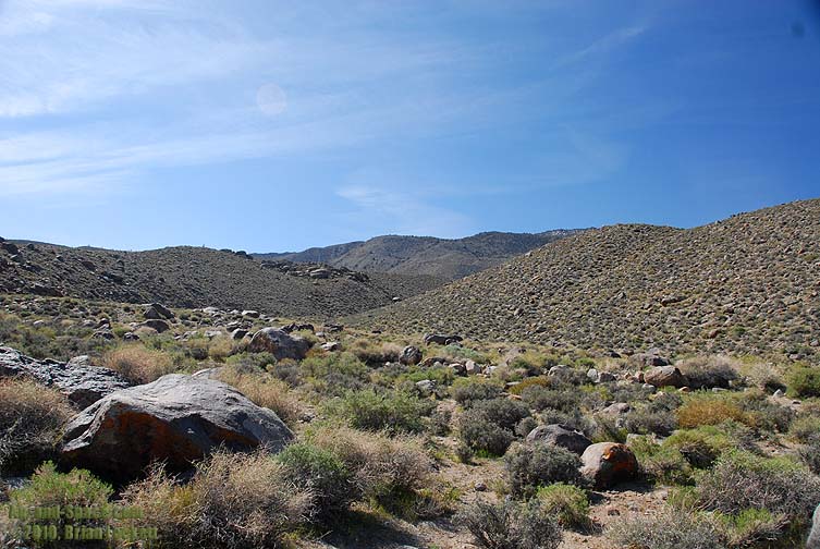
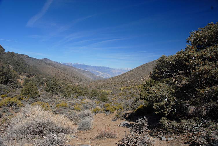 The road descends through Grapevine Canyon. The slopes on the left side of the road have Juniper Trees, while conditions on the slopes on the right side of the road favor Joshua Trees.
 360-degree panorama of the South Pass into the Saline Valley.
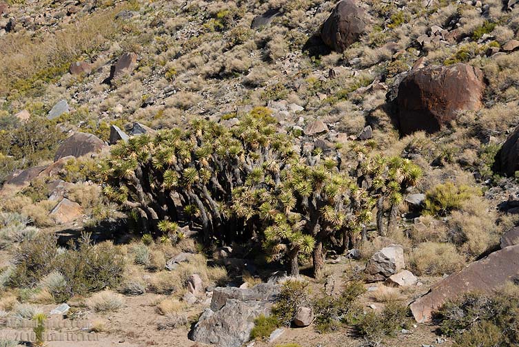 The joshua Trees in Grapevine Canyon grow in dense clusters rather than widely separated as they do on Lee Flat.
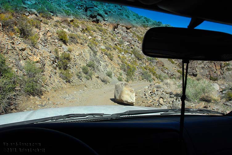 Winter storms have dropped some large rocks onto the road.
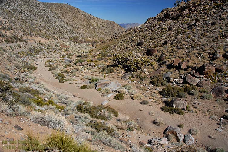
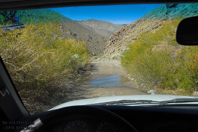
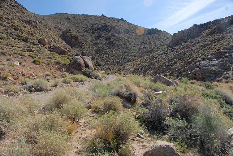
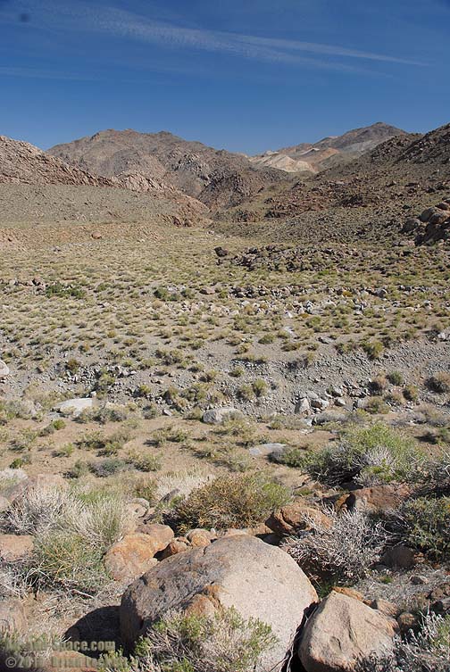
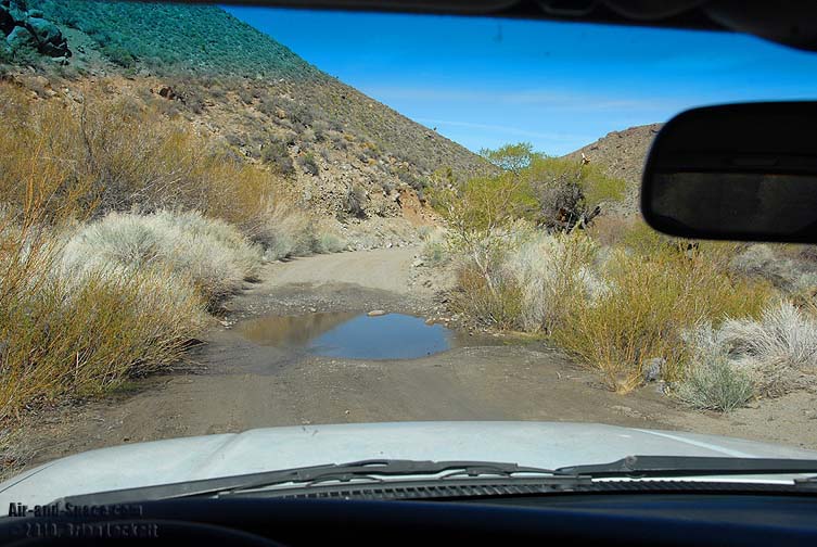 There are a few shallow stream crossings along the way.
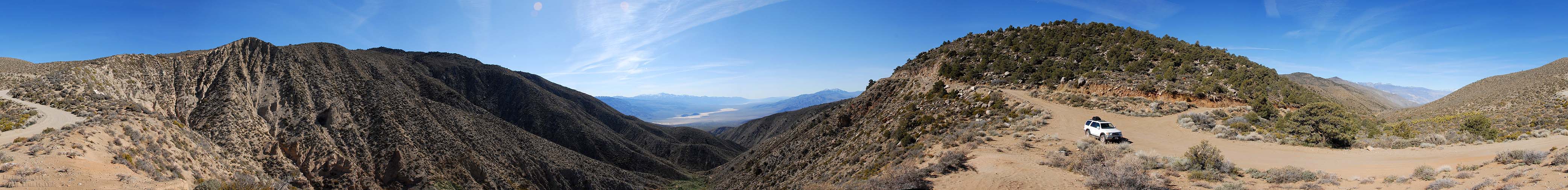
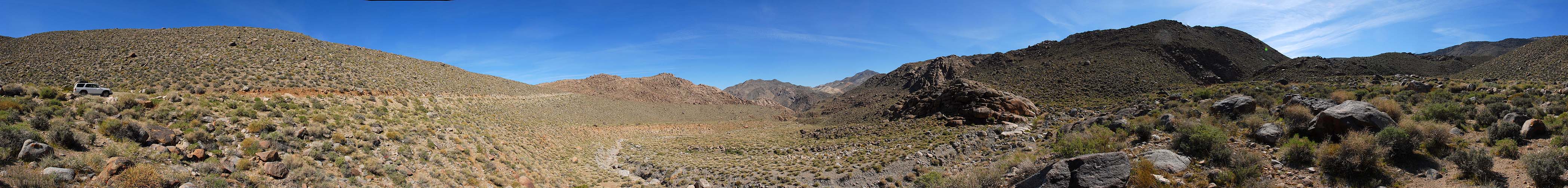
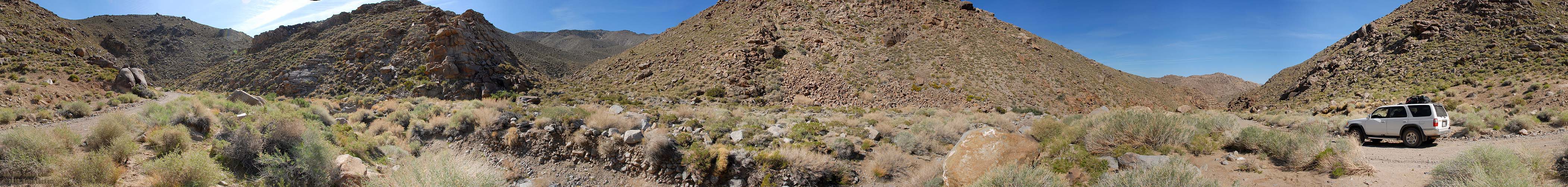 360-degree panorama of Grapevine Canyon.
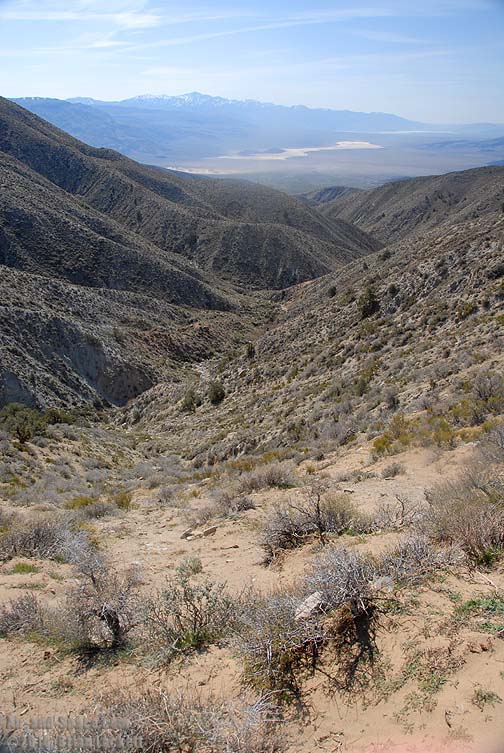
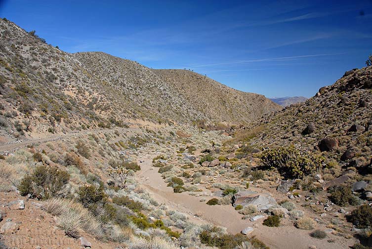
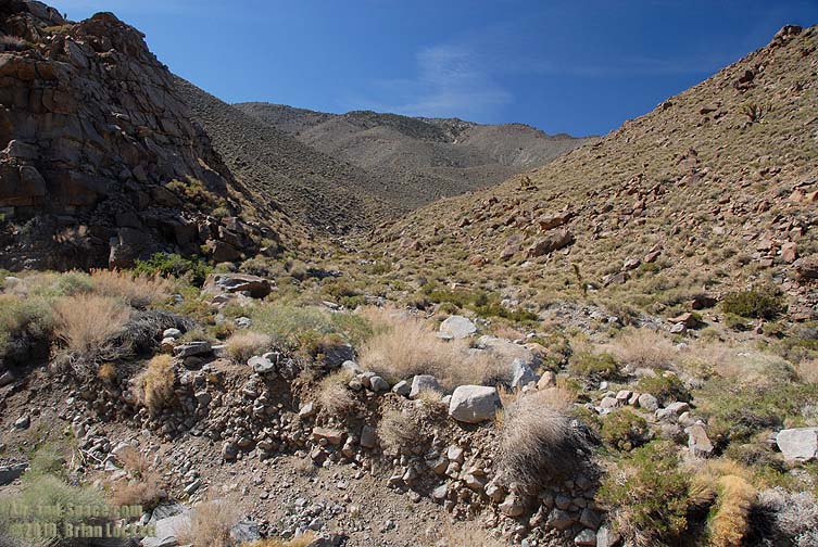
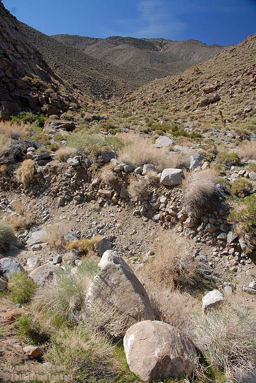
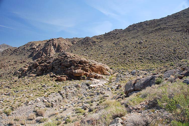
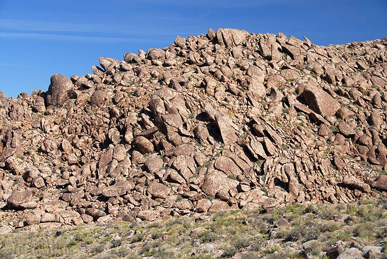
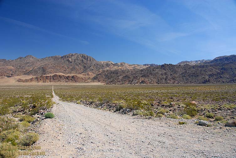
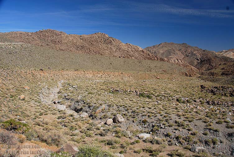 Grapevine Canyon empties into this basin at an elevation of 4,000 feet. Note the size of the boulders that have been washed downstream.
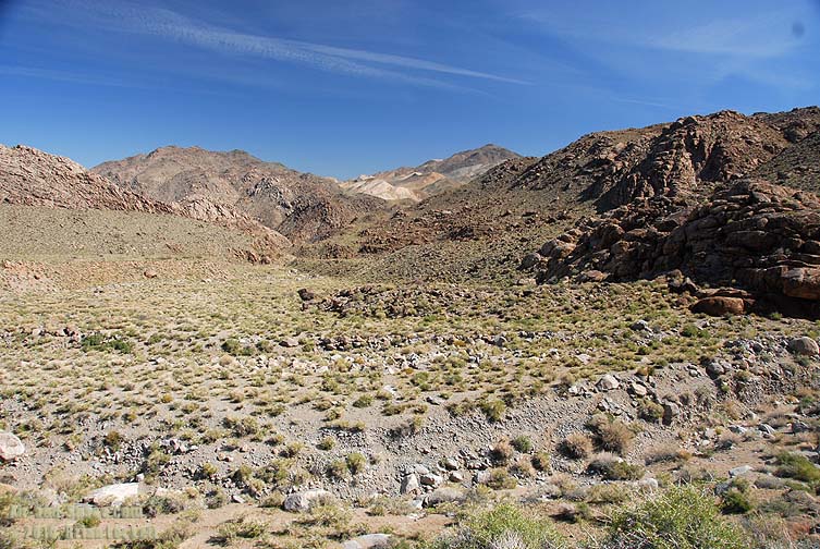
 360-degree panorama.
You can buy framed prints and greeting cards of this photo.
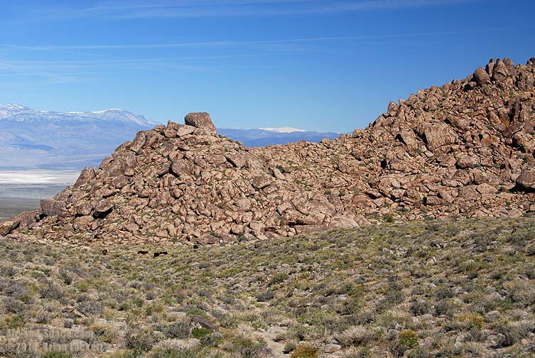
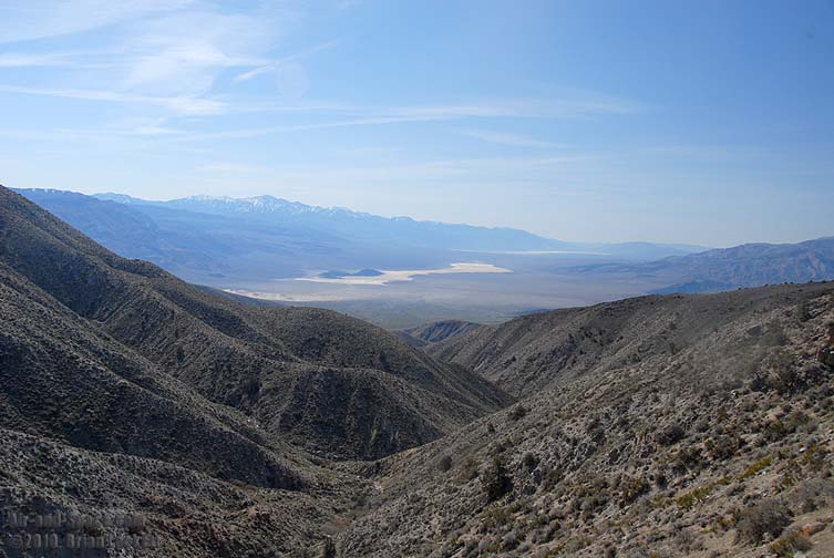
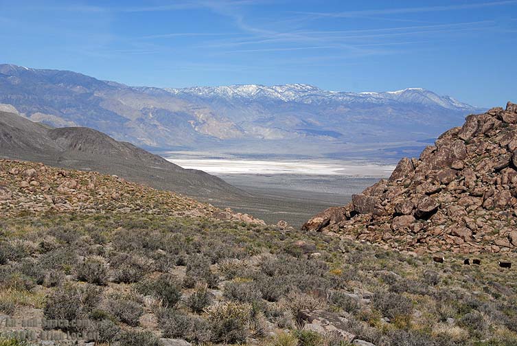
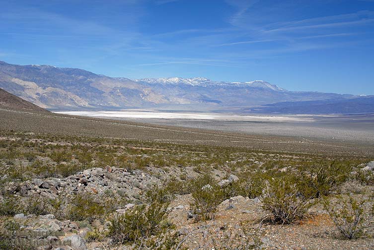
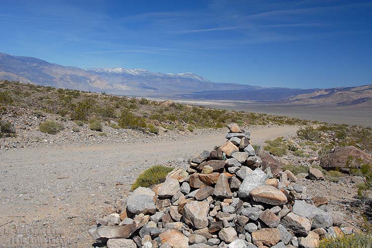
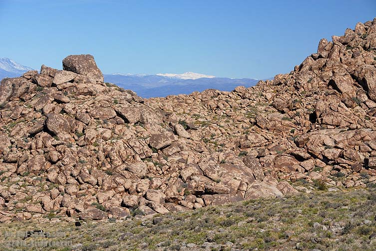 In the distance, snowy White Mountain is 14,252 feet tall, only slightly lower than Mount Whitney.
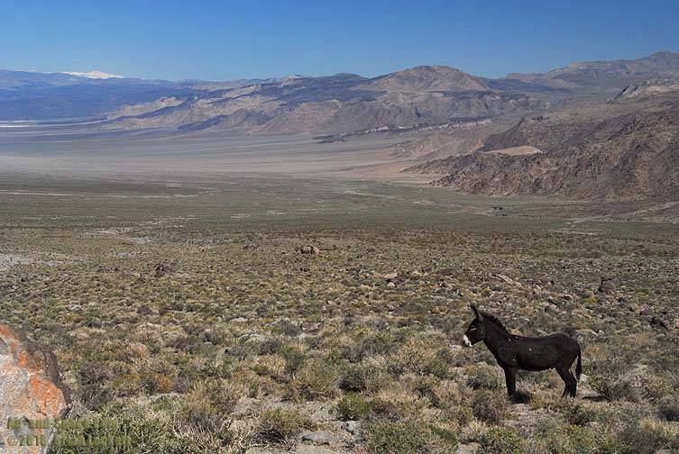
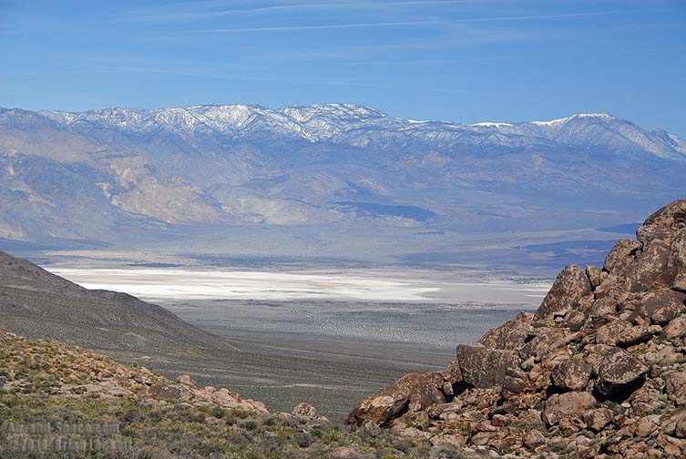 Waucoba Mountain on the right is 11,123 feet tall. The salt flats of Saline Lake are at an elevation of 1,050 feet. The lowest pass out of the valley is at an altitude of about 5,000 feet. At nearly 4,000 feet deep, the Saline Valley is one of the deepest holes on the continent.
 Panoramic view from the Saline Valley overlook.
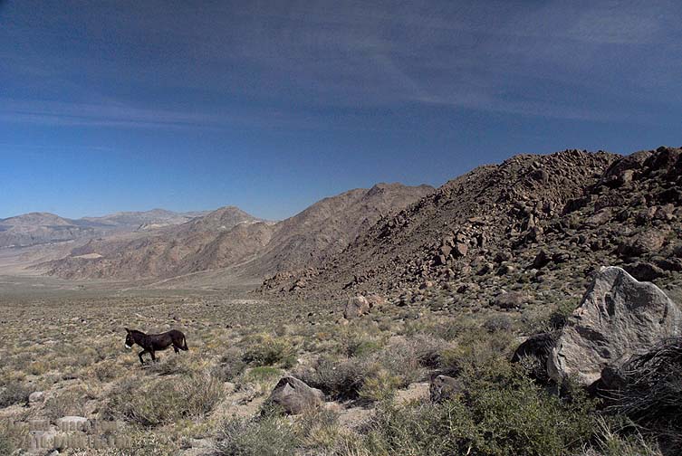
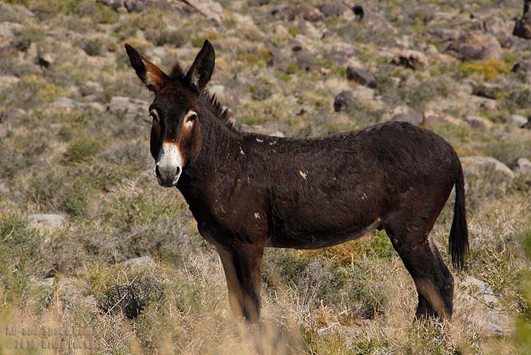 A Burro greeted me as I descended into the valley.
 Several years ago the Park Service eradicated Burros from the area, but they have returned in sizable numbers.

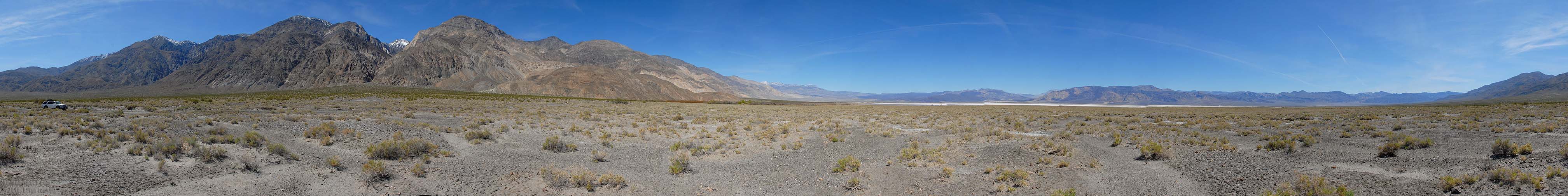
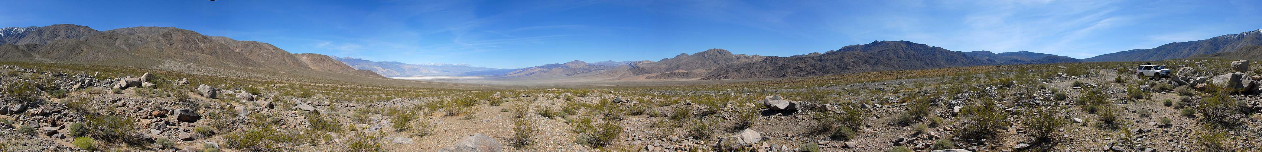 360-degree panorama of the Saline Valley.
You can buy framed prints and greeting cards of this photo.
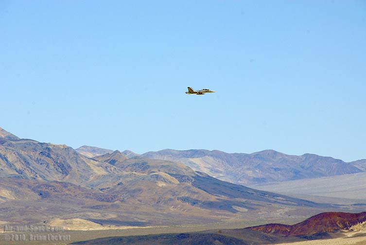
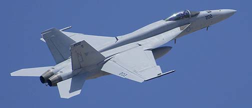
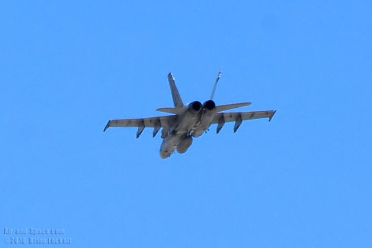 A Boeing F/A-18 Hornet, probably from Naval Air Station Lemoore, buzzed me as I continued my descent.
 The Lippincott Road leads up to Racetrack Playa.
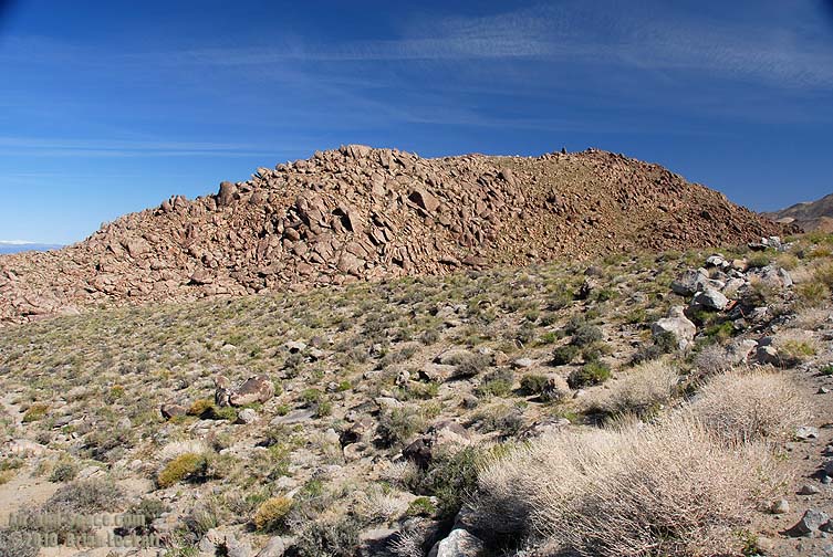
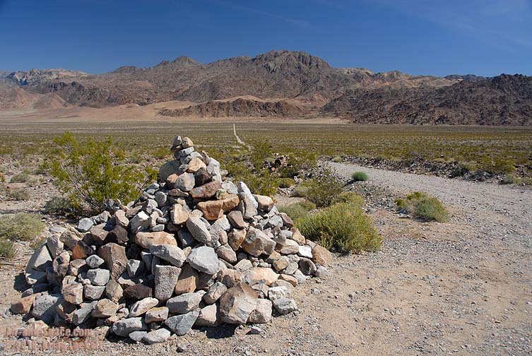 The Lippincott Road is marked by a large pile of rocks.
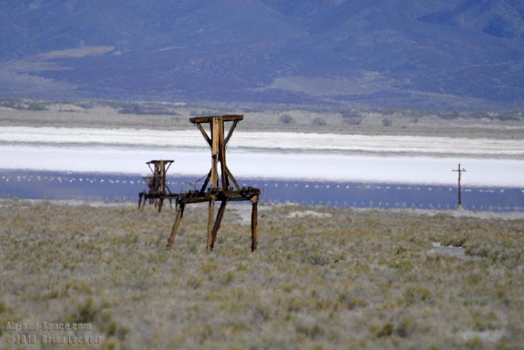
 Saline Lake was a major producer of salt in the early 1900s. The tallest and steepest cable tramway in the country carried salt over the Inyo Mountains to the small town of Swansea, where it was loaded on steamboats to be carried across Owens Lake to the rail head at Cartago.
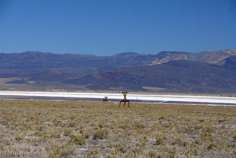 Some of the pylons from the old salt tram can still be seen.
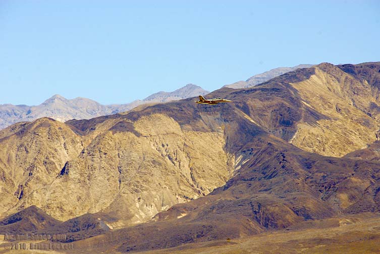
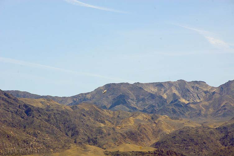
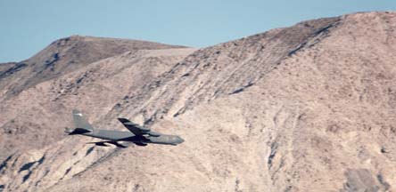
 A Hornet cruised up the valley at low altitude.
 Steele Pass leads to Eureka Valley and the Eureka sand dunes.
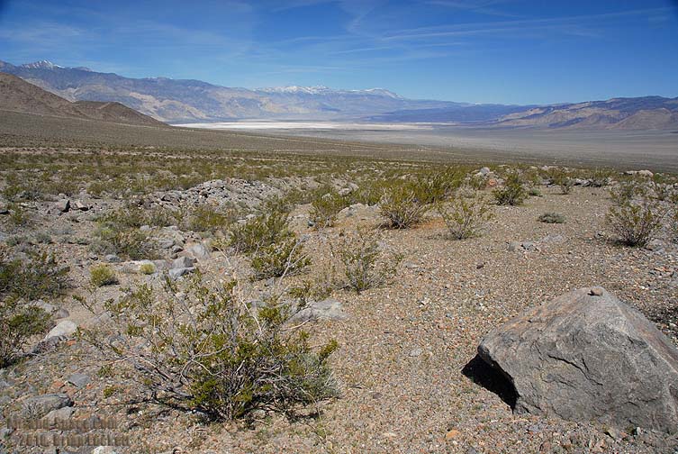
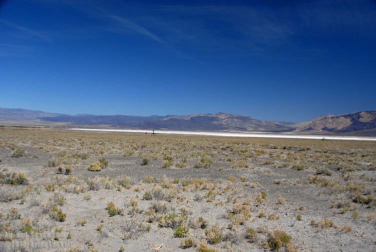
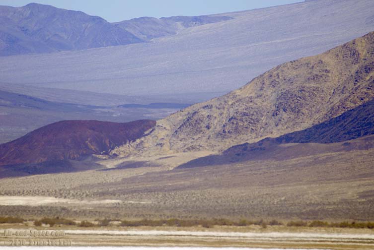
 The light area on the far side of the lakebed is clay deposits that were brought to the surface by springs.
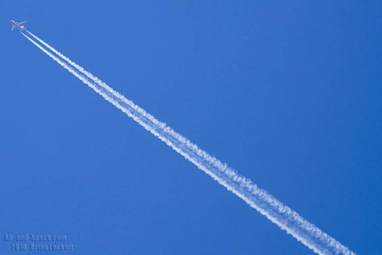 A Southwest Airlines Boeing 737 cruised high over the valley.
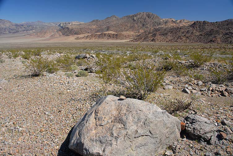
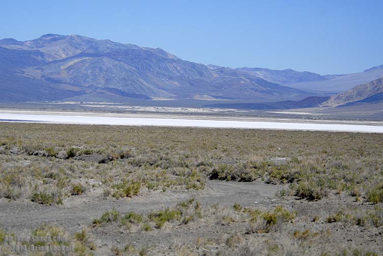
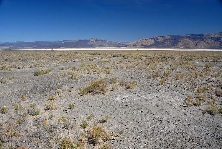 Only the most salt tolerant plants can grow in the soil around the lakebed.
 360-degree panorama of the Saline Valley.
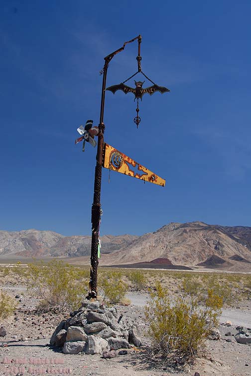
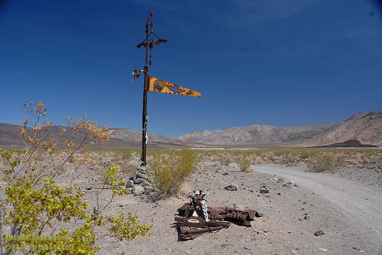 The Bat Pole marks the way to the camps at Warm Springs and Palm Spring.
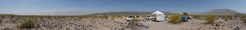 Page 2: Campout
 Airplanes in the Wild
 Mojave Desert, California displays.
- advertisement -
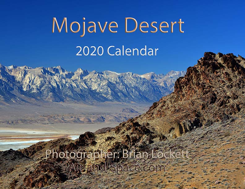
You can buy a 2020 Calendar featuring my photographs of Californias High Desert.
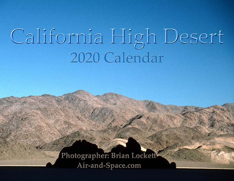
California High Desert locations include Owens Valley, Panamint Valley, Saline Valley and the Inyo Mountains.
 Put a copy of the California High Desert 2020 Calendar in your Lulu.com shopping cart for $14.95.
You can buy a 2020 Calendar featuring my photographs of the Mojave Desert.
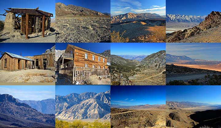
A dozen photos of the Mojave Desert. Locations include the Panamint Valley, the ghost town of Ballarat, the ghost town of Cerro Gordo, the Inyo Mountains, and the Saline Valley.
Put a copy of the Mojave Desert 2020 Calendar in your Lulu.com shopping cart for $14.95.
You can buy a 2020 Calendar featuring my photographs of the Saline and Panamint Valleys.

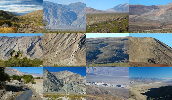
A dozen photos of the Saline and Panamint Valleys. The Saline Valley is a remote and beautiful part of Death Valley National Park. The primitive roads and utter lack of services make it one of the least visited parts of the park. I strongly recommend 4-wheel-drive, high-clearance vehicles to get there. We get a flat tire on nearly every trip. The Saline Valley is bounded on the west by the Inyo Mountains with peaks reaching over 11,000 feet. The bottom of the valley floor is at an elevation two miles below the peaks of the Inyos. The lowest pass out of the valley is almost 4,000 feet higher than the almost dry lakebed.
Put a copy of the Saline and Panamint Valleys 2020 Calendar in your Lulu.com shopping cart for $14.95.
You can buy a 2020 Calendar featuring my photographs of Inyo County Mountains.
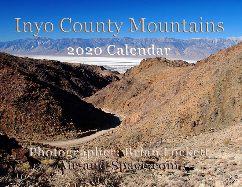
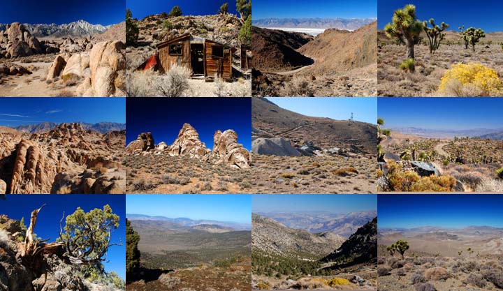
A dozen photos of mountainous terrain in Inyo County. Locations include:
Alabama Hills
Papoose Flat Road in the Inyo Mountains,
Hines Road in the Inyo Mountains,
Cerro Gordo in the Inyo Mountains,
Lee Flat, and
Hunter Mountain.
Put a copy of the Inyo County Mountains: 2020 Calendar in your Lulu.com shopping cart for $14.95.
You can buy a 2020 Calendar featuring my photographs of the Basin and Range province in eastern California.
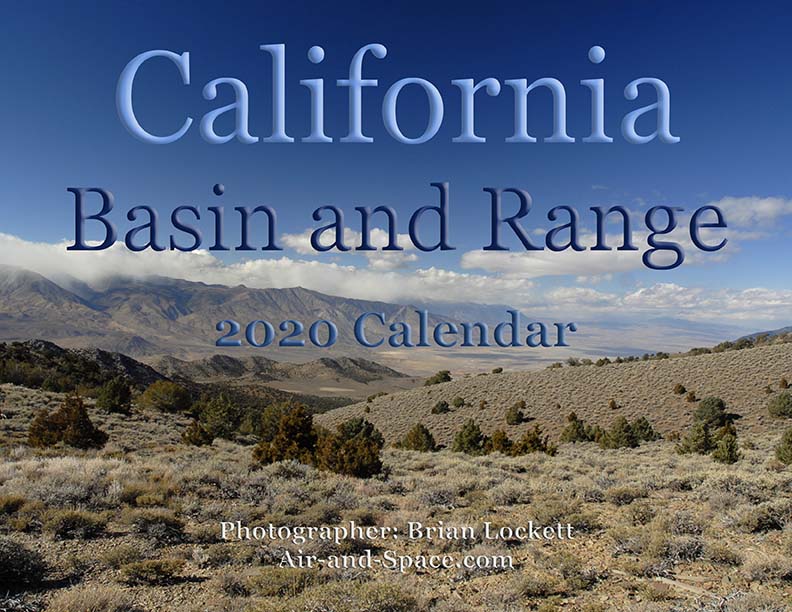
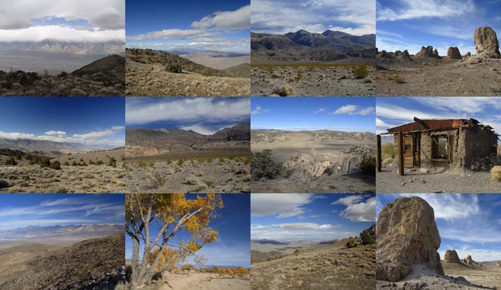
A dozen photos of the Basin and Range province in eastern California. Locations include:
Barber Point in the Inyo Mountains,
Papoose Flat in the Inyo Mountains,
Harkness Flat in the Inyo Mountains,
Panamint Valley,
Ballarat ghost town,
Owens Valley, and
Trona Pinnacles.
Put a copy of the California Basin and Range: 2020 Calendar in your Lulu.com shopping cart for $14.95.
You can buy a 2020 Calendar featuring my very wide angle photographs of eastern California, from the Sierra Nevada to Death Valley. The photos are 9-1/2" x 13-1/2".
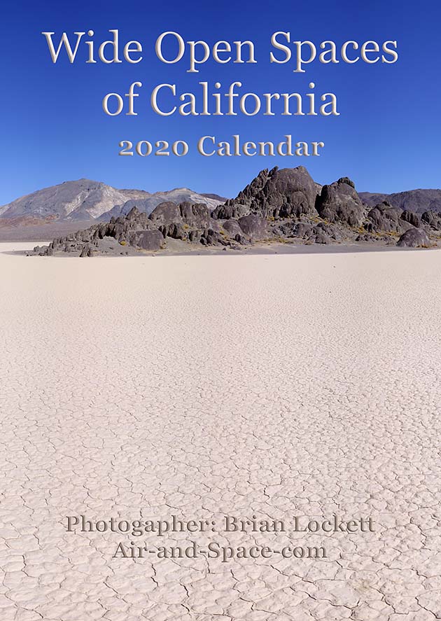
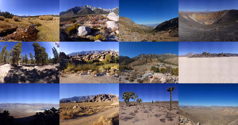
A dozen very wide angle 9-1/2" x 13-1/2" photographs of eastern California, from the Sierra Nevada to Death Valley.
Horseshoe Meadow
Owens Valley
Whitney Portal
Alabama Hills
Cerro Gordo
Holiday Mine, Inyo Mountains
Lee Flat
Ubehebe Crater
Racetrack Playa
Ulida Flat from Hunter Mountain
Put a copy of the Wide Open Spaces of California: 2020 Calendar in your Lulu.com shopping cart for $23.95.
You can buy a 2020 Calendar featuring my Little Planet photographs. The photos are 9-1/2" x 13-1/2".

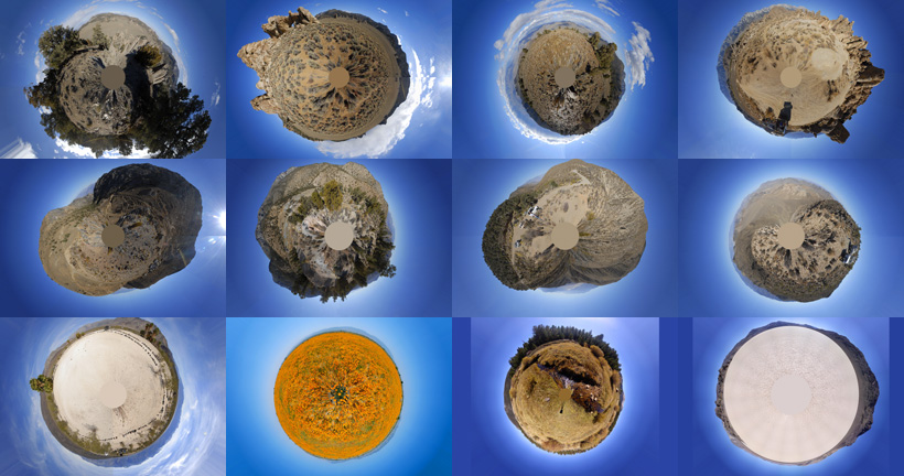
A dozen 9-1/2" x 13-1/2" 360-degree panoramas wrapped in a circle to make little planets. Locations include Antelope Valley, Saline Valley, Hunter Mountain, Racetrack Playa, Horseshoe Meadow, and the Inyo Mountains.
Put a copy of the Little Planets: 2020 Calendar in your Lulu.com shopping cart for $23.95.
- advertisement -
Send a message to Brian.